What is recorded here
Situated on a slight rise in a low-lying landscape. The parch-mark of a subcircular enclosure (dims c. 33m N-S; c. 27m E-W) defined by a single fosse feature is only visible on Google Earth (14/07/2018). There could be breaks in the fosse at WSW (Wth c. 3m), NW (Wth c. 7m) and N (Wth c. 2m). It was first reported by Jean Charles Caillere.
Compiled by: Michael Moore
Date of upload: 18 September 2019
A local fairy fort (ringfort/rath); wider significance not recorded.
The monument record does not grant public access. Check the route and ask the landowner before entering private land.
- What survives
- Recorded monument
Places near here
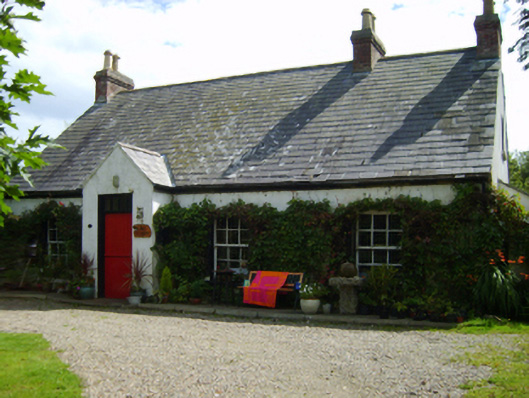 An Díseartcoastguard station · 415 yd
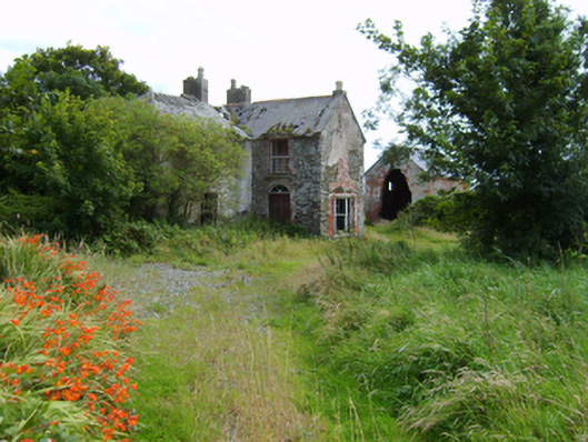 Cahore Housefarm house · 494 yd
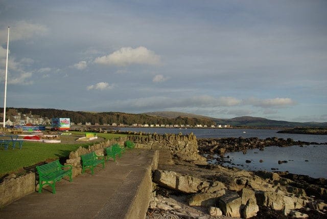 Newtown BeachBeach / strand · 985 yd
 Gilligan's CaveCave · 1107 yd
 Nick Corish MonumentMonument · 1400 yd
 Cahore BeachBeach / strand · 1565 yd
 Wexford - TexasMemorial · 1.4 mi
 Ladys Well or TobermurryHoly well · 1.5 mi
 1798 MemorialMemorial · 1.6 mi
 The Cahore Polders and DunesNature reserve · 1.7 mi
 Shrule Deer FarmHeritage attraction · 1.8 mi
 Site of Morris CastleCastle, unclassified · 3.5 mi