What is recorded here
Fairy fort / earthen ringfort in Cahervillahowe (Kilfeakle parish) is a fairy fort or earthen ringfort in Cahervillahowe (Kilfeakle parish), County Tipperary, Ireland. It occupies generally level pasture as a circular area about 25 metres across, defined by an 8.7-metre-wide bank that stands 1.15 metres high on the outside and 0.6 metres high inside. A 6.15-metre-wide ditch runs beside the bank, reaching 0.2 metres deep in its best-defined section from southeast to west-southwest, while a possible 3.4-metre-wide entrance appears at the southwest where the ditch is slightly backfilled.
In generally level pasture. Circular area (diam. c. 25m) defined by bank (overall Wth 8.7m; Wth at top 0.9m; int. H 0.6m; ext. H 1.15m) which is reduced to scarp (Wth 2m; H 0.7m) WNW-NNW. Possible entrance (Wth 3.4m) at SW where fosse is backfilled slightly. Fosse (overall Wth 6.15m; basal Wth 1.9m; D 0.2m) is best defined SE-WSW and is less shallower (overall Wth 9.75m; Wth at base 3.75m; D 0.15m) WSW-NE. Fosse is truncated by field boundary across E-sector and a second boundary (long-axis WSW-ENE) crosses fosse at WSW. Interior is generally level and contains occasional mature trees.
Compiled by: Jean Farrelly
Date of upload: 26 August 2011
The monument record does not grant public access. Check the route and ask the landowner before entering private land.
- What survives
- Recorded monument
Places near here
 Cahervillehowe Housecountry house · 801 yd
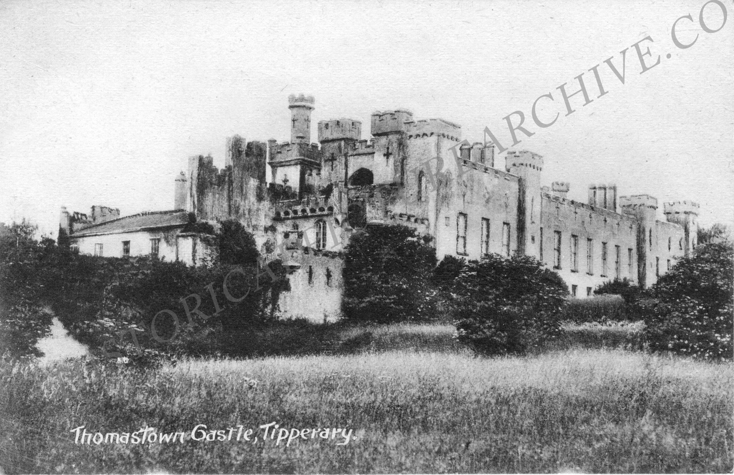
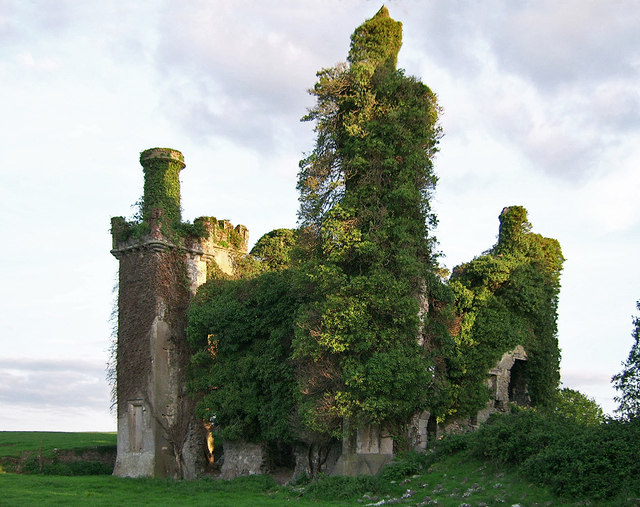 Thomastown CastleCastle · 842 yd
 Thomastown Castle GateRuins · 998 yd
 Enclosure in Thomastown Demesne NorthEnclosure · 1427 yd
 Thomastown Church (in ruins)Church · 1599 yd
 Enclosure in Kilfeakle ChurchquarterEnclosure · 1.0 mi
 Athassel PrioryHeritage attraction · 2.4 mi
 European ashEuropean ash · 2.8 mi
 Dundrum Woods (Marl Bog)Forest · 4.3 mi
 I.R.A. 3rd. Tipperary Brigade MemorialMemorial · 4.7 mi
 The RockViewpoint · 6.3 mi
 Christ the KingViewpoint · 7.0 mi