What is recorded here
In undulating pastureland. Poorly preserved circular rath (diam. c. 45m) defined by traces of a bank from SW to WNW; elsewhere a scarp forms the enclosing element. Field boundaries border the monument at NNW and from SSE to SW. Two hollows within the interior may be the result of quarrying.
Compiled by: Galway Archaeological Survey, UCG
Date of upload: 18 February 2019
The monument record does not grant public access. Check the route and ask the landowner before entering private land.
- What survives
- Recorded monument
Places near here
 Site of Cloonoo CastleCastle, unclassified · 615 yd
 Enclosure in St LaurencesfieldsEnclosure · 1425 yd
 Blake's IslandIslet · 1.2 mi
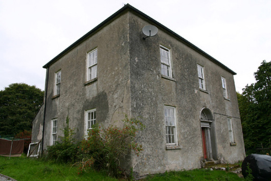 Glenvillecountry house · 1.3 mi
 Raruddy Castle (in ruins)Castle, tower house · 1.3 mi
 CaveMan-made underground passage · 1.4 mi
 Kilconickny Church (in ruins)Church · 1.4 mi
 Barrack IslandIslet · 1.6 mi
 Long PointHeadland · 2.4 mi
 Turoe StoneHeritage attraction · 3.8 mi
 Moyard WoodWood · 5.7 mi
 Scalpeen RockNamed rock · 5.7 mi