What is recorded here
No visible castle wall, no grand stone tower, only a low earthen bank and a hidden passage beneath the grass. That is why the fort still belongs partly to imagination: the fairies may be invented, but the chamber is real. A person could have lived above, worked the land, and descended into darkness when storms came or when ordinary light failed. The boundary road cut through the west side later, reducing the circle without erasing its purpose.
In pasture, on NW shoulder of hillock. Circular area (21.3m N-S; 20.9m E-W) enclosed by earthen bank (H 1.1m) NW->WSW. Road-field boundary truncates site to W. Remains of rectangular hut site (7.9m x 8.4m) (CO134-0410003-) and Man-made underground passage (CO134-041002-) in interior.
The above description is derived from the published 'Archaeological Inventory of County Cork. Volume 1: West Cork' (Dublin: Stationery Office, 1992). In certain instances the entries have been revised and updated in the light of recent research.
Date of upload/revision: 14 January 2009
The monument record does not grant public access. Check the route and ask the landowner before entering private land.
- What survives
- Recorded monument
Places near here
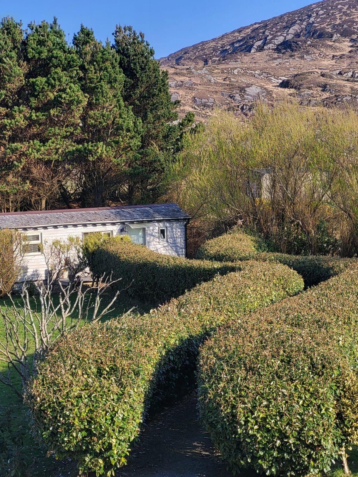 Hut site in CahermoreHut site · 1 yd
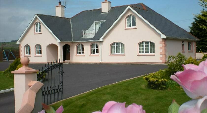 Hut site in FreahanesHut site · 863 yd
 Jeremiah O'Donovan RossaMemorial · 1.1 mi
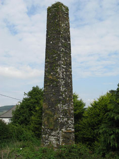 chimneychimney · 1.1 mi
 Flax MillRuins · 1.1 mi
 Castle SalemCastle · 1.5 mi
 Michael Collins BirthplaceHistoric birthplace · 2.4 mi
 William Thompson MemorialMemorial · 2.6 mi
 CarrigfaddaMountain / peak · 2.8 mi
 The Warren DunesNature reserve · 3.4 mi
 Lookout over MillcoveViewpoint · 3.5 mi
 The WarrenBeach / strand · 3.6 mi