What is recorded here
Forty feet across on a Galway hill, the ringfort keeps its shape because people kept it clean. A low bank, a cut ditch, a southern gap wide enough for a cart or a dancing crowd, and broken stone lining the inside are all still visible. Local tradition calls it a fairy fort, which means the ordinary explanation and the wonderful one are no longer easy to separate.
On the summit of a low hill in tillage. Well-preserved circular rath (diam. 38m) defined by a bank and external fosse. Traces of an inner stone revetment are visible intermittently. There is a stone-lined causewayed entrance gap (Wth c. 2.5m) at S.
Compiled by: Galway Archaeological Survey, UCG
Date of upload: 12 January 2017
A well-preserved earthen ringfort (fairy fort) on a low hill in Caherglassaun, featuring a circular bank and external fosse with traces of an inner stone revetment and a stone-lined causewayed entrance. Likely dating to the early medieval period, it is associated with local folklore of fairy hauntings and otherworldly connections common to such sites in Irish tradition.
The monument record does not grant public access. Check the route and ask the landowner before entering private land.
- What survives
- Recorded monument
Places near here
 EnclosureEnclosure, large enclosure · 646 yd
 IndicatedFairy fort / earthen ringfort · 1221 yd
 Mine in CaherglassaunMine · 1237 yd
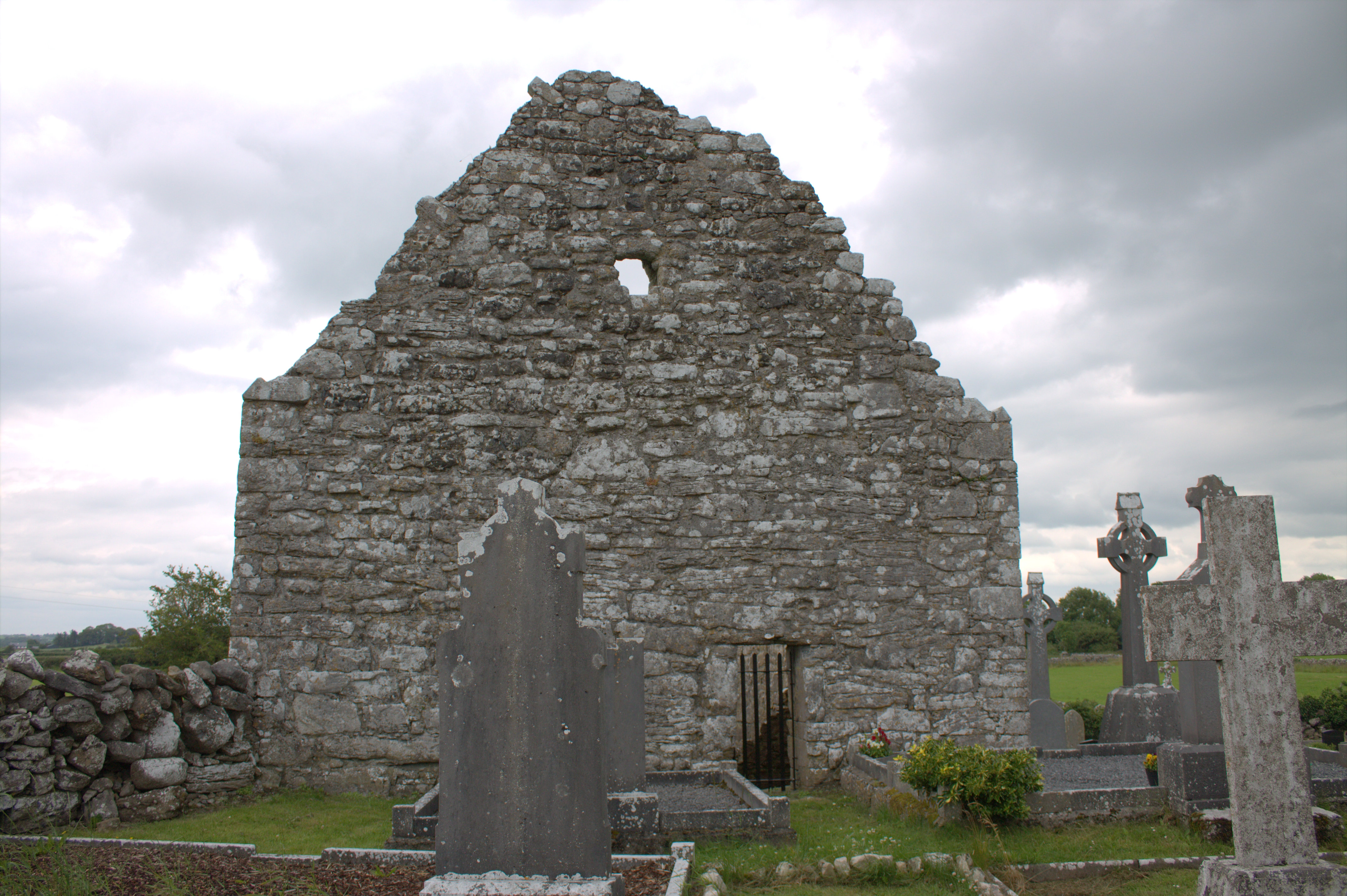 Killomoran Church (in ruins)Church · 1.1 mi
 Castle in ruinsCastle, unclassified · 1.4 mi
 Cahererillan CastleCastle · 2.1 mi
 Coole-Garryland Nature ReserveNature reserve · 2.4 mi
 European BeechEuropean Beech · 2.6 mi
 Drumharsna CastleHeritage attraction · 2.7 mi
 Mulroney's IslandIslet · 3.6 mi
 Cusheen IslandIslet · 3.9 mi
 Kilmacduagh Monastic SiteVisitor information · 4.6 mi