What is recorded here
Caherbroder holds a worn earthen ring where ancient fields still radiate outward like spokes on a broken wheel. Its shallow banks and inner divisions suggest a lived place, not a empty shape, yet much of its edge has blurred into ordinary ground. The name Fairy fort may be local invention or memory dressed in wonder, but the earth itself preserves the fact that people shaped this land long before modern boundaries crossed it.
In rough grazing land. This poorly preserved subcircular rath (52m E-W; 50m N-S) is defined by a bank of earth and stone from ESE to S, and by a scarp from NNW through N to NNE. A field boundary overlies the enclosing element elsewhere. A gap (Wth 6m) at E appears to be modern. Field boundaries radiate from the monument at NW and N. Within the interior, two banks of earth and stone indicate internal divisions. Another rath (GA128-029----) lies c. 25m to the NE.
Compiled by: Galway Archaeological Survey, UCG
Date of upload: 10 January 2017
The monument record does not grant public access. Check the route and ask the landowner before entering private land.
- What survives
- Recorded monument
Places near here
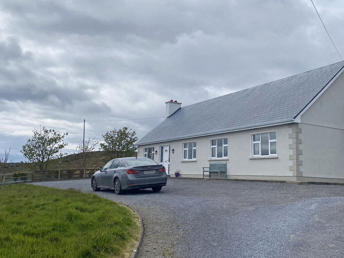 Man-made underground passage in CaherbroderMan-made underground passage · 384 yd
 Ashfield Ho.House, 18th/19th century · 718 yd
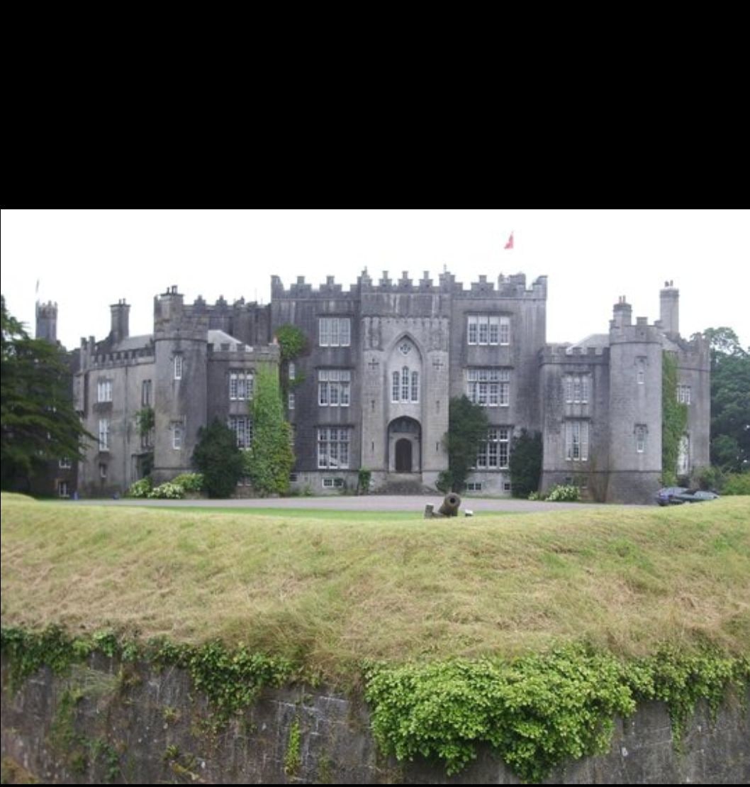 Man-made underground passage in Ashfield DemesneMan-made underground passage · 959 yd
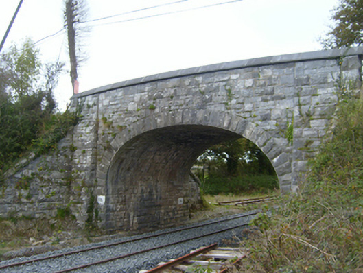 bridgebridge · 1477 yd
 Swan IslandIsland · 1.5 mi
 Ardamullivan Castle (in ruins)Castle, tower house · 1.7 mi
 Apple IslandWood · 1.8 mi
 Keaghery IslandWood · 1.9 mi
 Bawn in Fiddaun (kiltartan By.)Bawn · 2.1 mi
 Castle IslandIsland · 2.2 mi
 Kilmacduagh MonasteryHeritage attraction · 2.5 mi
 Kilmacduagh Monastic SiteVisitor information · 2.5 mi