What is recorded here
Caherbroder holds a subcircular rath thirty-six metres wide, built with two earth and stone banks around a central ditch. Its eastern entrance remains a clear stone-lined gap, while grass-covered walls divide the northern interior into separate living spaces. The field boundary now crossing its outer bank suggests human hands kept shaping the land long after the fort stopped being new.
In reclaimed grassland. Subcircular rath (36m E-W; 31m N-S), in fair condition, defined by two banks of earth and stone and an intervening fosse. There is a well-defined stone-lined entrance gap (Wth 1.5m) at E. From NW through N to NNE a field boundary overlies the outer bank. Within N half of the interior an internal division is indicated by two grass-covered stone walls. A field boundary radiating from the monument at W adjoins another rath (GA128-030----) c. 25m to SW.
Compiled by: Galway Archaeological Survey, UCG
Date of upload: 10 January 2017
The monument record does not grant public access. Check the route and ask the landowner before entering private land.
- What survives
- Recorded monument
Places near here
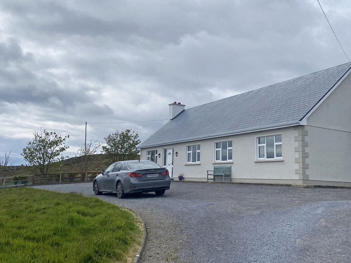 Man-made underground passage in CaherbroderMan-made underground passage · 354 yd
 Ashfield Ho.House, 18th/19th century · 818 yd
 CaveMan-made underground passage · 968 yd
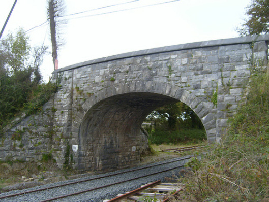 bridgebridge · 1572 yd
 Swan IslandIsland · 1.5 mi
 Ardamullivan Castle (in ruins)Castle, tower house · 1.7 mi
 Apple IslandWood · 1.8 mi
 Keaghery IslandWood · 1.9 mi
 Bawn in Fiddaun (kiltartan By.)Bawn · 2.2 mi
 Castle IslandIsland · 2.2 mi
 Kilmacduagh MonasteryHeritage attraction · 2.5 mi
 Kilmacduagh Monastic SiteVisitor information · 2.5 mi