What is recorded here
Caherbreagh holds a solid earthen ringfort, yet local memory calls it a fairy fort because the boundary between human history and folklore collapses there. People built or reused the rampart for defence and residence, but the fairy label suggests the place still resists ordinary explanation. The earth may have served kings, farmers or fugitives before it became a vessel for wonder.
The Archaeological Survey of Ireland (ASI) is in the process of providing information on all monuments on The Historic Environment Viewer (HEV). Currently the information for this record has not been uploaded. To access available information for research purposes please make an appointment in advance with the Archive Unit (open Fridays 10.00 am – 5.00 pm), Department of Housing, Local Government and Heritage, The Custom House, Dublin 1 D01W6XO or email NMarchive@housing.gov.ie.
The monument record does not grant public access. Check the route and ask the landowner before entering private land.
- What survives
- Recorded monument
Places near here
 Burnt spread in Curraghmacdonagh (trughanacmy By., Ballymacelligott Par.)Burnt spread · 952 yd
 Enclosure in Ballingowan (trughanacmy By.)Enclosure · 1143 yd
 Ballyseede Castle HotelCastle · 1197 yd
 Common AlderCommon Alder · 1248 yd
 Ballyseede Castlegates/railings/walls · 1310 yd
 Kilquane Church (in Ruins)Church · 1319 yd
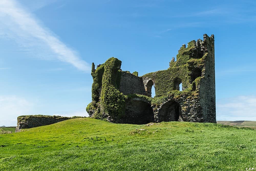 CastleCastle, unclassified · 1456 yd
 Monument WoodWood · 1748 yd
 PoulatouirtCave · 1.2 mi
 Poulclashcannon (blocked)Cave · 1.3 mi
 Civil War MemorialMemorial · 2.4 mi
 Crimea Cannon and War MemorialMonument · 2.8 mi