What is recorded here
Fairy forts are misnamed; they are human ringforts, often farmsteads or refuge places from the first centuries after Christ. In Caher (murphy), an earthen bank still marks an oval home on a rocky shelf above Lough Graney, with sandstone slabs set in places and a gap at the southeast. The name may preserve awe or forgetfulness, but the shape records human choice: a held boundary, an entrance, and a view across water.
At the edge of a shelf in NW-sloping rocky pasture, overlooking Lough Graney c. 300m to the W. Partly hachured on the OS 25-inch plan (1897) and Cassini edition (1920) of the OS 6-inch map. This oval-shaped area (max. int. diams. 46.5m NW-SE; 31.2m NE-SW; max. ext. dims. 49.2m NW-SE; 36.5m NE-SW) is defined by an earthen bank (max. Wth 1.4m; int. H 0.3-0.6m; ext. H 0.2-1.1m) which is steepest and highest externally from SW-W-NE, making use of the natural shelf here, and upon which some trees and bushed grow. In places, the bank is faced both internally and externally by vertically set sandstone slabs (max. H 0.4m). There is a – possibly later widened – original entrance gap (Wth 4m) in the SE sector. On the natural slope outside the bank at NW is a cluster of rock outcrop boulders (max. H 2.8m; L 1.8m; Wth 0.6m).
Compiled by: Gearóid Conroy and Conn Herriott
Date of upload: 2-10-2025
The monument record does not grant public access. Check the route and ask the landowner before entering private land.
- What survives
- Recorded monument
Places near here
 IndicatedFairy fort / earthen ringfort · 739 yd
 Ecclesiastical enclosure in FlagmountEcclesiastical enclosure · 1566 yd
 Bleach Bridgebridge · 1710 yd
 Japanese cedarJapanese cedar · 2.0 mi
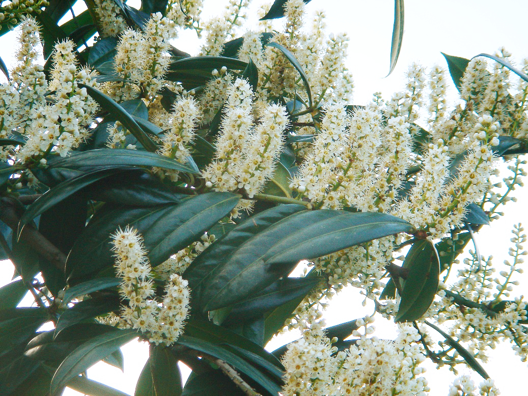 Cherry laurelCherry laurel · 2.0 mi
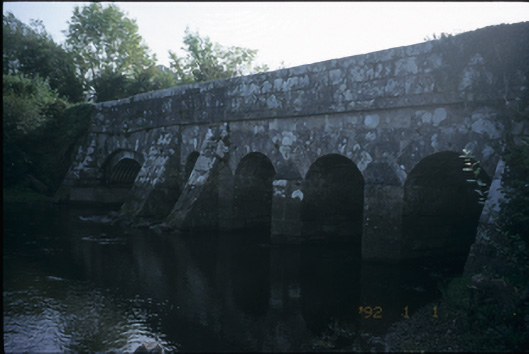 Bunshoon Bridgebridge · 2.2 mi
 MagheraMountain / peak · 3.5 mi
 Maguire SistersMemorial · 4.5 mi
 KnocknarebanaMountain / peak · 5.0 mi
 Bawn in Lecarrow UpperBawn · 5.1 mi
 Holly IslandIslet · 5.8 mi
 Castle (in ruins)Castle, tower house · 6.0 mi