What is recorded here
Moss and manure may have built the fort, but grass and time have taken it back. The round border still stands beside the field, marked by a broken bank and a shallow ditch. It is the kind of place where people stopped asking questions and began living inside the answer.
In rough pasture, on top of a rise on a N-facing slope, with restricted views due to trees and bushes. A circular area (35m N-S; 34m E-W) defined by an earthen bank (Wth 5.8m; int. H 0.6m; ext. H 1.75m) NW-ENE with trees on top, by a scarp (Wth 2.5m; H 0.4m) SE-SW and by an overgrown bank with several breaks SW-NW. The bank is truncated by a tree-lined linear earthen field boundary ENE-SE. The interior is covered with rushes and slopes down to the N; it is largely obscured by overgrowth and is raised (H 0.4m) at S and (H 1.15m) at N to partially compensate for the hillslope.
Compiled by: Elizabeth Byrne, Ursula Egan and Sheila Ronan, Archaeological Survey Unit, University College, Cork.
Date of upload: 31 January 2011
The monument record does not grant public access. Check the route and ask the landowner before entering private land.
- What survives
- Recorded monument
Places near here
 Fulacht FianFulacht fia · 227 yd
 Fulachta FianBurnt spread · 434 yd
 RoadRoad, road/trackway · 1048 yd
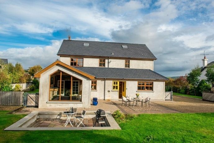 Coolgarriv HouseCountry house · 1257 yd
 Aghadoe Early Medieval Ecclesiastical SiteHeritage attraction · 1334 yd
 Parkavonear CastleCastle · 1381 yd
 Famine MemorialMemorial · 1.3 mi
 Circular WalkWalking route · 1.4 mi
 GinkgoGinkgo · 1.5 mi
 Giant SequoiaGiant Sequoia · 1.6 mi
 Cairn of PeaceMemorial · 1.6 mi
 Lamb IslandIsland · 1.9 mi