What is recorded here
No amount of thinking will solve a bad prompt.
On a W-facing slope in grassland. Marked on the 1838 edition of the OS 6-inch map as a circular enclosure (c. 20m max. NNW-SSE) cut at N and SSE by a NW-SE running road; no trace is shown to the E of the road. No visible surface trace survives.
Compiled by: Galway Archaeological Survey, UCG
Date of upload: 19 July 2019
The monument record does not grant public access. Check the route and ask the landowner before entering private land.
- What survives
- Recorded monument
Places near here
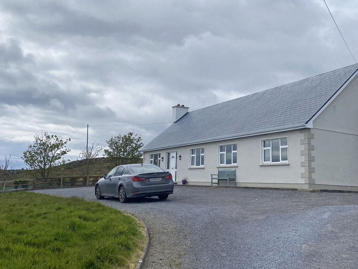 Man-made underground passage in CaherbroderMan-made underground passage · 221 yd
 Holy well in CaherbroderHoly well · 908 yd
 Ashfield Ho.House, 18th/19th century · 1044 yd
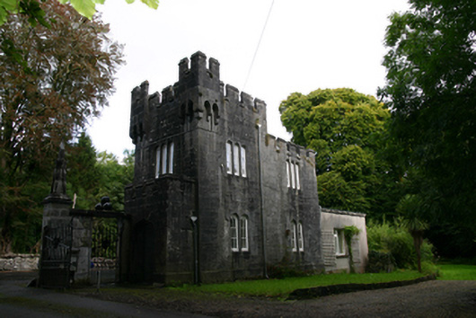 Lough Cutra Castlegate lodge · 1446 yd
 Swan IslandIsland · 1.3 mi
 Apple IslandWood · 1.6 mi
 Keaghery IslandWood · 1.7 mi
 Ardamullivan Castle (in ruins)Castle, tower house · 1.7 mi
 Castle in ruinsCastle, tower house · 2.0 mi
 Castle IslandIsland · 2.0 mi
 Kilmacduagh MonasteryHeritage attraction · 2.6 mi
 Kilmacduagh Monastic SiteVisitor information · 2.7 mi