What is recorded here
Fairy fort / earthen ringfort in Bunnacranagh is a fairy fort or earthen ringfort in Bunnacranagh, County Sligo, Ireland. It occupies flat grassland as a slightly raised circular area twenty-eight metres across, enclosed by an earthen bank four-point-two metres wide and between one-point-two and one-point-six metres high. Evidence for stone-facing appears on the inner face, while gaps at the north-west and south-east suggest former entrances. Parts of the bank are incorporated into a field boundary, and the interior remains under grass.
In flat grassland. A slightly raised circular area (diam. 28m) enclosed by an earthen bank (Wth 4.2m; int. H 1.2m; ext. H 1.6m) with evidence for stone-facing on the inner face. The bank is raised and incorporated into a field boundary in parts. There are gaps in the bank at NW and SE. The interior is under grass.
The above description is derived from the published 'Archaeological Inventory of County Sligo' compiled by Ursula Egan, Elizabeth Byrne, Mary Sleeman with Sheila Ronan and Connie Murphy (Dublin Stationery Office, 2005).
Date of upload: 18 January 2008
The monument record does not grant public access. Check the route and ask the landowner before entering private land.
- What survives
- Recorded monument
Places near here
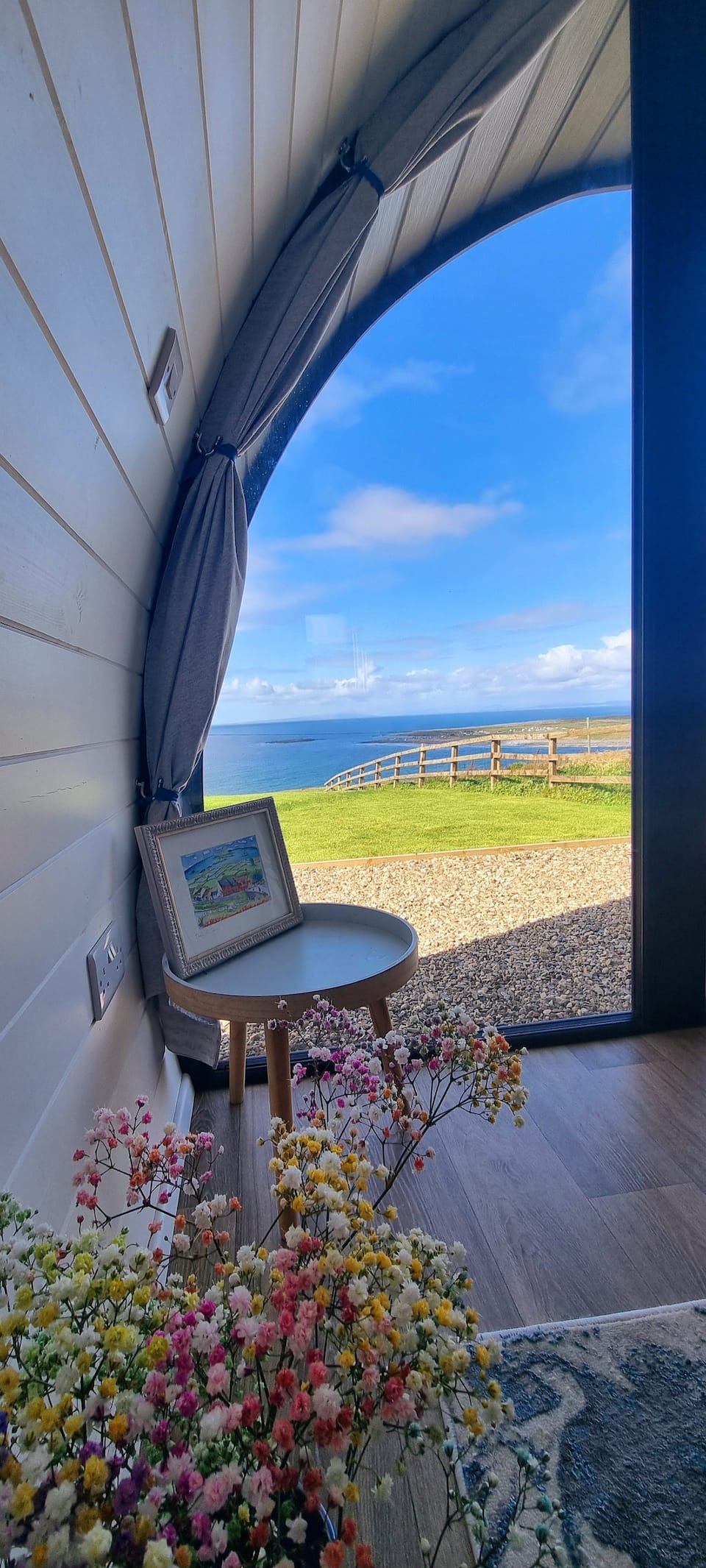 LissaneFairy fort / earthen ringfort · 176 yd
 Man-made underground passage in BunnacranaghMan-made underground passage · 701 yd
 Catholic Church of the Immaculate Conceptionchurch/chapel · 1639 yd
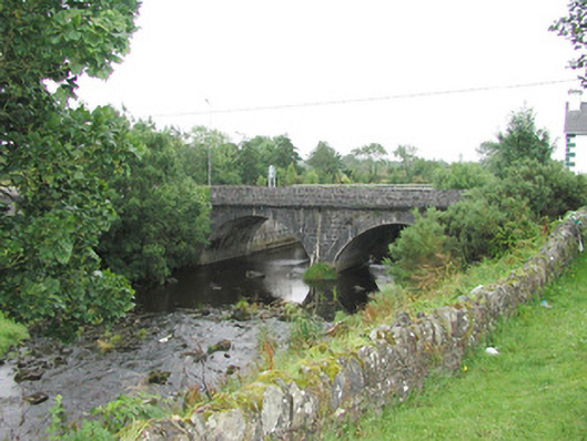 bridgebridge · 1690 yd
 Old Cave Burial GroundArchaeological place · 3.6 mi
 Castle (Site of)Castle, unclassified · 4.4 mi
 Ballyara Castle (in Ruins)Castle, unclassified · 4.5 mi
 Procession Of The SoulsMemorial · 7.5 mi
 Brabazon WoodsForest · 7.6 mi
 Bockagh HillMountain / peak · 7.8 mi
 HawthornHawthorn · 8.2 mi
 Lough Talt TrailVisitor information · 9.1 mi