What is recorded here
In the SE corner of a pasture field, located in gently rolling terrain.
This rath is not shown on any edition of the OS 6-inch maps. Slightly raised D-shaped area (39m E−W; 29.5m N−S to field wall) defined on the curving side at SW−SE by low bank (Wth 2m at W, 2.5m at E; int. H 0.1-0.25m; ext. H 0.3m at W, 0.75m at E) and on the straight side to S by an E−W field wall, which forms the S boundary of the modern field. The enclosing bank is reduced almost to a scarp at W and to a low undulation for sections at NW-N. The best preserved section is on the E arc, where the external slope is enhanced by a natural dip in ground level. The rath must originally have been oval or circular, but the S arc (to S of the E−W field wall) has been levelled.
A gap (Wth 3m) at E may be an original entrance. The interior is flat, featureless and grassy.
There is a subcircular quarry pit (diam. c. 10m; D 1.5m) 3m to W of the rath, now partly concealed by hawthorn trees and overgrowth. A roughly N−S length of stony bank (Wth c. 1.7m; H 0.3m) extends between the quarry pit and the E−W property wall at S; this appears to be a remnant of a field wall, probably of later date than the rath; the gap between it and the rath bank varies between 2.5-3m.
Another oval quarry pit (8m NW−SE; 5.5m NE−SW; D 1.4m) is located immediately to NE of the rath.
There is a rath (MA118-045----) 150m to WNW
Attached images:
MA118-171----_01.JPG Viewed from N
MA118-171----_02.JPG Viewed from NE
MA118-171----_03. JPG Entrance, viewed from NE
Compiled by: Jane O’Shaughnessy
Date of upload: 19 March 2021
The monument record does not grant public access. Check the route and ask the landowner before entering private land.
- What survives
- Recorded monument
Places near here
 IndicatedEnclosure · 828 yd
 Bunacrower CastleCastle · 873 yd
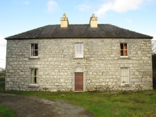 Carranvilla Housefarm house · 1183 yd
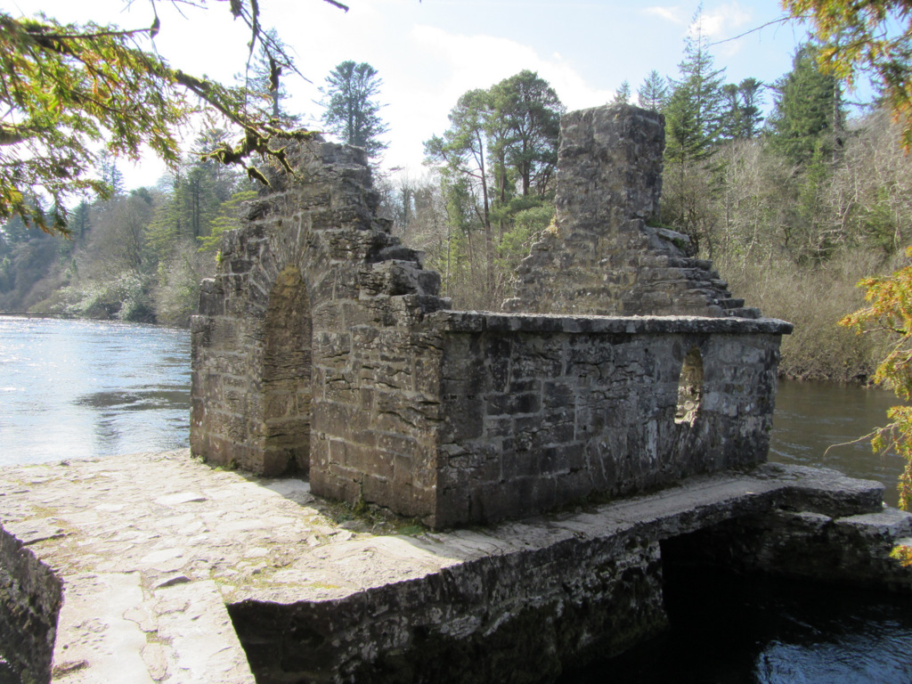 Enclosure in Kilquire LowerEnclosure · 1696 yd
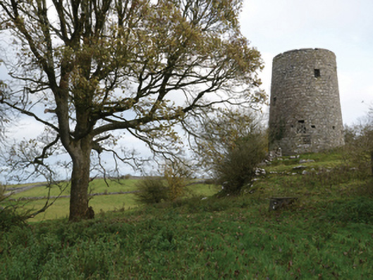 Highwood Millmill (wind) · 1.2 mi
 Castle in ruinsCastle, tower house · 1.3 mi
 SycamoreSycamore · 2.5 mi
 European ashEuropean ash · 4.1 mi
 Rat IslandIslet · 5.5 mi
 Crane IslandIslet · 5.8 mi
 School of FalconryHeritage attraction · 9.0 mi
 Ross Errilly FriaryHeritage attraction · 9.6 mi