What is recorded here
The earthen bank stands 3.45 metres high in Brownstown, a thirty-metre circle where human hands met fairy law. It is a fort in name and function, a boundary marker in pasture where the visible world ends and the hidden one begins. The seam between both is not a suggestion. It is a wall.
In pasture, on S-facing slope. Circular area (diam. c. 30m) defined by earthen bank (H 3.45m) SE->SSW, incorporated into the field fence system. Interior cuts into upslope to N. Locally known as "fort".
The above description is derived from the published 'Archaeological Inventory of County Cork. Volume 1: West Cork' (Dublin: Stationery Office, 1992). In certain instances the entries have been revised and updated in the light of recent research.
Date of upload/revision: 14 January 2009
The monument record does not grant public access. Check the route and ask the landowner before entering private land.
- What survives
- Recorded monument
Places near here
 Country house in Brownstown (ibane and Barryroe By.)Country house · 463 yd
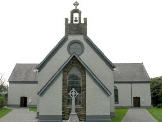 St James' Roman Catholic Churchchurch/chapel · 804 yd
 Fulacht fia in Brownstown (ibane and Barryroe By.)Fulacht fia · 1007 yd
 Man-made underground passage in ClooncunnigMan-made underground passage · 1158 yd
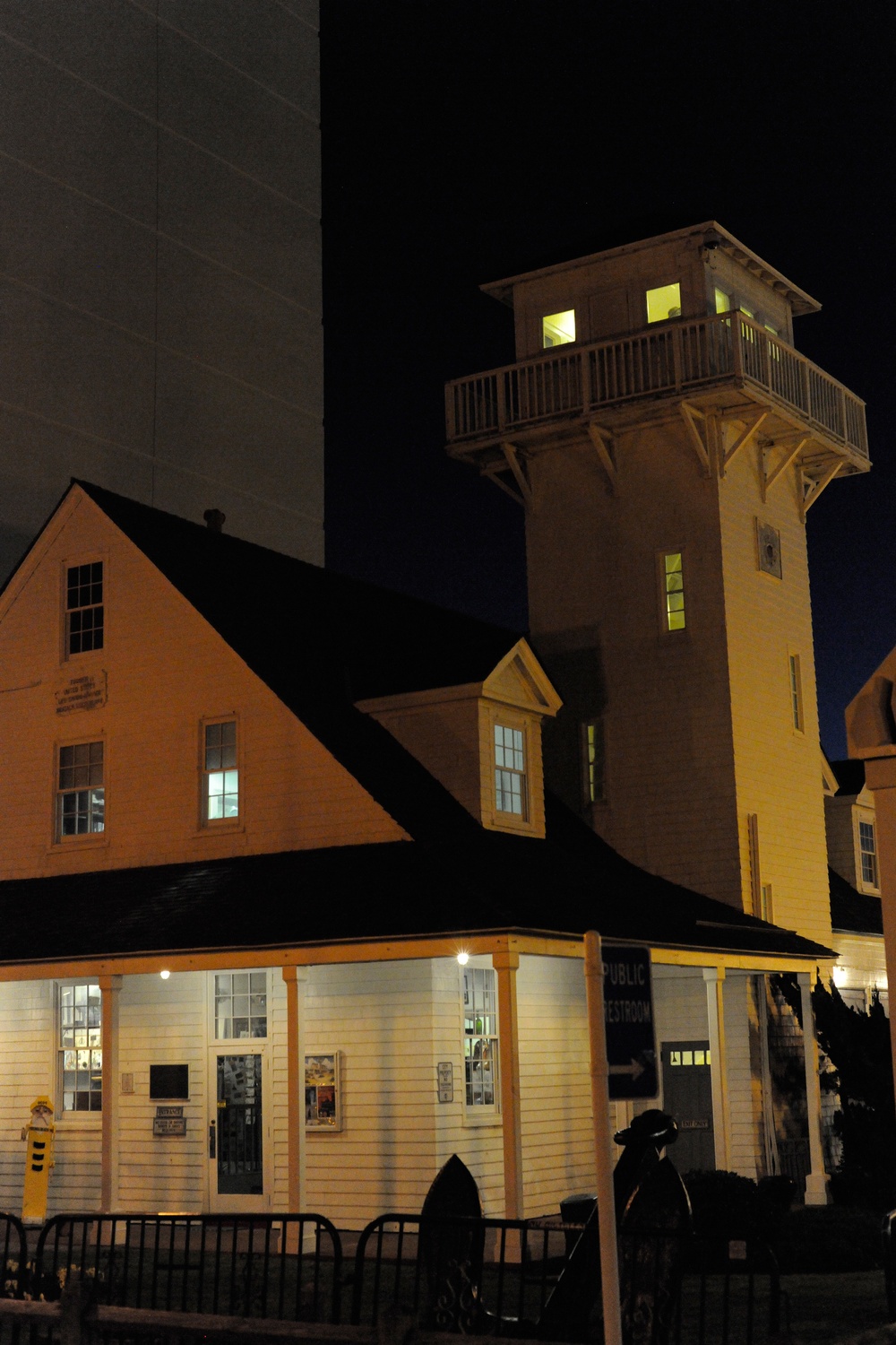 Old Coast Guard StationRuins · 1249 yd
 CastleCastle, unclassified · 1269 yd
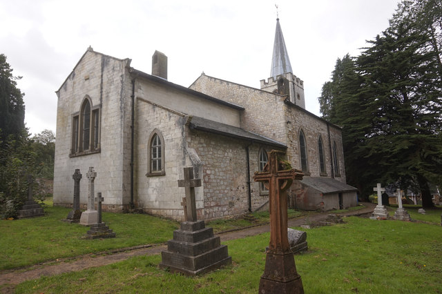 St. James WellSpring · 1415 yd
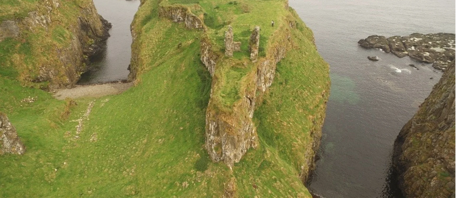 Dunnycove Castle (in Ruins)Castle, tower house · 1.0 mi
 Inchydoney BeachBeach / strand · 2.0 mi
 Red StrandBeach / strand · 2.2 mi
 Stoney Beach RingBeach / strand · 2.7 mi
 Cottage MuseumMuseum · 2.7 mi