What is recorded here
Lisin an Fhearainn, a fairy fort in Brookhill, wears a false name. Its earth bank, half-swallowed by grass and shadow, holds no human shape but resists forgetting. The fairies built it to watch the low pasture and tilt the minds of those who walk past at dusk. What is missing is not loss but transformation.
This poorly preserved univallate rath is located in good grazing land a short distance W of Tullynascally stream, and affords broad views over low-lying pastureland to E. It is noted as 'Lisin an Fhearainn' by Ó Cíobháin (1978, 52). The enclosing bank of earth and stone is densely overgrown and survives only as a low scarp along the W sector. At E it survives to a maximum height of 1.85m above external ground level and averages 2.1m in basal width and .85m in internal height. The interior of the site is featureless and the original entrance is not discernible.
The above description is derived from A. O'Sullivan and J. Sheehan (compilers), 'The Iveragh peninsula: an archaeological survey of South Kerry'. Cork University Press (1996), no. 472. In certain instances the entries have been revised and updated in the light of recent research.
Date of upload: 28 July 2013
The monument record does not grant public access. Check the route and ask the landowner before entering private land.
- What survives
- Recorded monument
Places near here
 IndicatedFairy fort / earthen ringfort · 447 yd
 Enclosure in Cappagh (dunkerron North By., Killoglin Par.)Enclosure · 639 yd
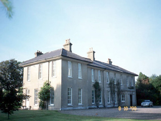 The Reekscountry house · 1.6 mi
 Killoughane Church (in Ruins)Church · 1.6 mi
 Ballymalis Castle (in ruins)Castle, tower house · 1.9 mi
 Ballymalis CastleCastle · 1.9 mi
 KnockbrackMountain / peak · 2.6 mi
 KnockroeMountain / peak · 2.9 mi
 King Puck statueMemorial · 3.5 mi
 Cloon IslandIsland · 3.9 mi
 Dunloe Ogham StonesHeritage attraction · 4.0 mi
 Devil's Ladder RouteWalking route · 4.0 mi