What is recorded here
Fairy fort / earthen ringfort in Brittas (St. Patricksrock parish) is a fairy fort or earthen ringfort in Brittas (St. Patricksrock parish), County Tipperary, Ireland. It occupies the west end of a low east-west ridge, with another ringfort fifteen metres to the east-southeast and the Rock of Cashel visible one and a half kilometres away. A roughly circular area forty-four metres north-south and forty-one metres east-west is defined by a flat-topped bank and the possible remains of a ditch visible intermittently from southwest through west to northwest. The bank has a dry-stone revetment about one metre high, mature beech trees growing on top, and a two-metre gap in the southeast quadrant that may have been the original entrance facing the neighbouring ringfort.
On the W end of a low E-W ridge in gently undulating grassland. A ringfort (TS060-063----) lies c. 15m to ESE and the Rock of Cashel (TS061-025003-) is clearly visible 1.5km to the ESE. A roughly circular area (diam. 44m N-S; 41m E-W) defined by a flat-topped bank (int. H 0.6m; ext. H 1.3m; Wth crest 1.8m; Wth base 5.1m), which falls gradually to the interior, and the possible remains of a fosse (Wth 6.5m; D 0.48m) which is visible intermittently from SW-W-NW. This monument is depicted on the 1st (1840-41) ed. OS 6-inch map in a similar fashion to its neighbouring ringfort which suggests that it was itself a ringfort which was subsequently landscaped as a tree-ring on the grounds of Brittas House. The outer face of the bank has a dry-stone revettment c. 1m high around the complete circuit and mature beech trees are growing on top of the bank. There is a gap in the bank in the SE quadrant (Wth 2m) which may have been the original entrance, facing directly towards the neighbouring ringfort. The level interior is overgrown with elder scrub. The monument is fenced off by a wooden fence with electric wire.
Compiled by: Jean Farrelly
Date of upload: 26 August 2011
The monument record does not grant public access. Check the route and ask the landowner before entering private land.
- What survives
- Recorded monument
Places near here
 IndicatedEnclosure · 381 yd
 Enclosure in St. PatricksrockEnclosure · 1097 yd
 Hore AbbeyHeritage attraction · 1229 yd
 Kilbrista ChurchChurch · 1382 yd
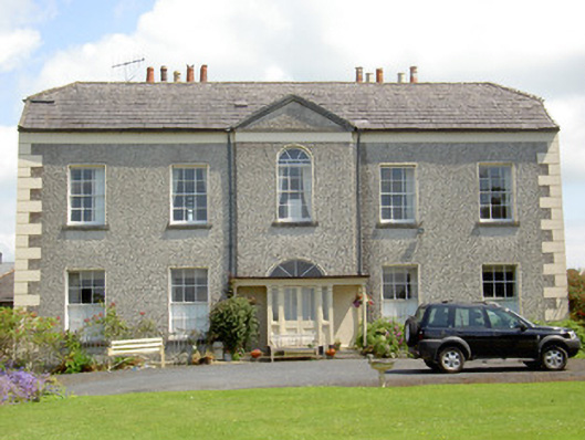 Rock Abbeyhouse · 1617 yd
 Rock of CashelHeritage attraction · 1647 yd
 The Rock Of CashelVisitor information · 1730 yd
 Black mulberryBlack mulberry · 1.0 mi
 Camus Castle (in ruins)Castle, unclassified · 1.3 mi
 Ballynahinch Castle (in ruins)Castle, tower house · 1.6 mi
 Ballyknock HillMountain / peak · 1.9 mi
 Dundrum Woods (Marl Bog)Forest · 6.6 mi