What is recorded here
Situated on a low rise on the N facing slope of an undulating ridge. Depicted on the 1837 OS Fair Plan map as a roughly circular shaped enclosure annotated ‘fort’. This site has been almost completely levelled. Remains consist of a sub-circular shaped area (approx. diam. 32m N-S; 34m E-W) enclosed by a poorly preserved wide bank of earth and stone which survives from W-NW (Wth 5.1m; max. H 0.45m), and is reduced to a scarp elsewhere. A field fence running E-W, which is also the townland boundary with Knockdrin, intersects the perimeter of the monument at N. This site now appears to have been completely levelled, and the cropmark of the levelled monument is visible in the ploughed field shown on Digital Globe aerial photograph taken November 2011.
Compiled by: Frank Coyne and Caimin O'Brien
Date of upload: 12 March 2018
The monument record does not grant public access. Check the route and ask the landowner before entering private land.
- What survives
- Recorded monument
Places near here
 IndicatedFairy fort / earthen ringfort · 587 yd
 ToberallenHoly well · 984 yd
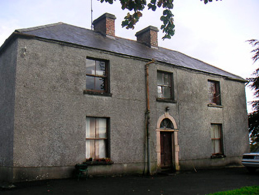 Newgrove Housefarm house · 1.2 mi
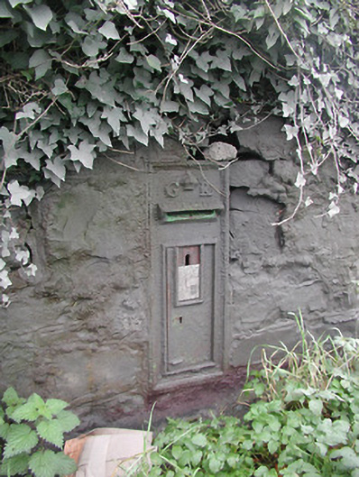 post boxpost box · 1.3 mi
 Site of CastleCastle, unclassified · 1.7 mi
 Long PlantingForest · 1.7 mi
 Saint Brigid's WellSpring · 2.9 mi
 Scragh Bog Nature ReserveNature reserve · 3.1 mi
 United Nations War MemorialMemorial · 3.3 mi
 Church IslandIsland · 3.4 mi
 The Chimera GalleryGallery · 3.7 mi
 Famine MemorialMemorial · 3.7 mi