What is recorded here
Fairy fort in Briskagh, County Limerick: a 20-metre earthen ring on a south-facing slope, its shallow fosse and overgrown bank still marking the circle beneath pasture. The name suggests people once refused to explain it, preferring fairy mischief to human memory. That much is clear from the shape: a boundary made deliberate, then abandoned to grass and forgetting.
In pasture, on S-facing slope, immediately below brow of low rise. Circular area (diam. c. 20m) enclosed by earthen bank with external fosse (D 0.2m; W 1.3m). Enclosure heavily masked by overgrowth with only verge of interior accessible at E. Bank (int. H 0.5m; ext. H 1m) and fosse best preserved along NW arc. Field boundary, shown on 1923 OS 6-inch map running tangentially to S side, has been removed.
Compiled by: Denis Power
Date of upload: 26 August 2011
This remains an important historical record, but the official description says the monument is no longer visible or has been destroyed. The monument record does not grant public access. Check the route and ask the landowner before entering private land.
- What survives
- No visible remains or recorded as destroyed
Places near here
 Shanid Castle (in ruins)Castle, Anglo-Norman masonry castle · 685 yd
 Shanid CastleCastle · 689 yd
 Waterpark Housecountry house · 913 yd
 Shanid Househouse · 988 yd
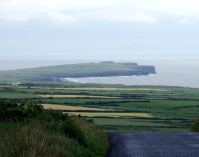 Mound in DooncahaMound · 1.1 mi
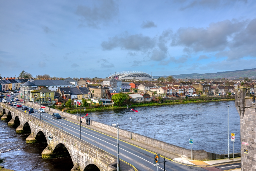 KnockourhaArchaeological place · 1.2 mi
 Monterey CypressMonterey Cypress · 3.9 mi
 TobercloonaghSpring · 4.2 mi
 Foynes Flying Boat & Maritime MuseumMuseum · 4.2 mi
 Foynes Island ViewpointViewpoint · 4.4 mi
 St. Luke's WellSpring · 4.4 mi
 Prospect HillMountain / peak · 4.6 mi