What is recorded here
Fairy fort in Brianstown, County Longford: a 51.1 m circular earthwork on a NW-SE pasture ridge, with a 4.4 m wide bank, low fosse and outer bank now touched by field boundaries. The original entrance has disappeared, but the ridge still holds the shape of a place set apart. Cattle may walk around it, people may drive past it, and the old line may continue to exclude more than it appears to contain.
On a prominent NW–SE ridge in pasture. A raised circular area (diam. 51.1m) enclosed by a levelled bank of earth and stone (Wth 4.4m; max. H 0.15m) with a partially infilled, wide, low, intervening fosse (Wth 5.9m; D 0.2m) and an outer bank (Wth 4.3m; H 0.2m), which has been modified and incorporated into a field boundary. Traces of an outer fosse (Wth c. 3m) are also evident, though it is largely infilled from WSW–W–ENE and from ENE–E–SSE it is incorporated into a modern field drain. From SSE–S–WSW it is overlain by a disused laneway. The original entrance is not recognisable.
Compiled by: Patrick F. O'Donovan
Date of upload: 26 November 2011
The monument record does not grant public access. Check the route and ask the landowner before entering private land.
- What survives
- Recorded monument
Places near here
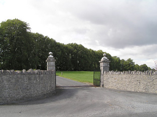 Brianstown Housegates/railings/walls · 351 yd
 IndicatedFairy fort / earthen ringfort · 1172 yd
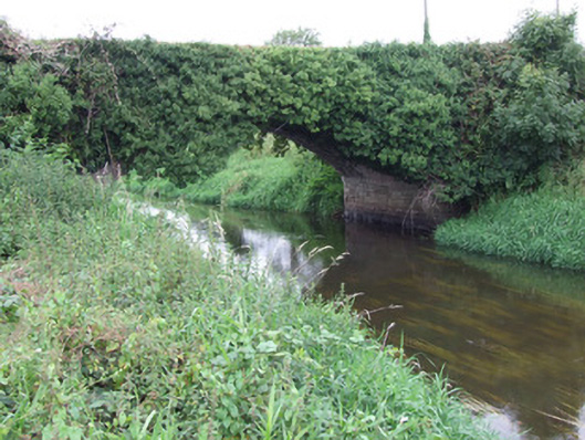 Ballykenny Bridgebridge · 1584 yd
 StructureStructure, peatland · 1.3 mi
 Pedunculate OakPedunculate Oak · 2.2 mi
 Bawn in AbbeycartronBawn · 2.7 mi
 First World War MemorialMemorial · 3.0 mi
 Saint Mel's CathedralCathedral · 3.0 mi
 Graveyard in Curry (ardagh By., Coolamber Ed)Graveyard · 3.9 mi
 Bawn in LissardowlanBawn · 6.4 mi
 Commons North WalkVisitor information · 6.9 mi
 Wild birdsVisitor information · 7.2 mi