What is recorded here
Breanshagh holds a shallow circular depression twenty metres across, hidden beneath reeds in flat, wet pasture. The earth may have worn smooth since the 1840s when Parknagoun fort still stood at the townland's northwest edge, but the dark circle and pale vegetation band remain visible from above. People may have lived inside that ring before the water and time erased the wall, leaving only a soft dimple where their shadows once fell.
In flat poorly drained pasture. A dark circular area enclosed by a light band of vegetation is visible in an aerial photo (GSIAP, Q 204), taken in 1977. A depression (20m NE-SW; 17m NW-SE; D c. 0.2m) covered with reeds marks the location of this possible rath. It may be the site of the rath, known as 'Parknagoun fort', which was recorded in the 1840s as being in the NW end of the townland (OSNB, Molahiffe, no. 1, 29).
Compiled by: Elizabeth Byrne, Ursula Egan and Sheila Ronan, Archaeological Survey Unit, University College, Cork.
Date of upload: 31 January 2011
The monument record does not grant public access. Check the route and ask the landowner before entering private land.
- What survives
- Recorded monument
Places near here
 IndicatedEnclosure · 985 yd
 Ecclesiastical site in CoolclieveEcclesiastical site · 1637 yd
 Ballyfinnane Br.Bridge · 1.0 mi
 Ballygamboon Forest Recreation AreaWood · 1.4 mi
 Cloonmealane CastleCastle · 1.5 mi
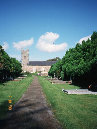 Saint Carthage's Church (Kiltallagh)church/chapel · 2.2 mi
 Site of CourtCastle, unclassified · 2.4 mi
 KnockmoyleMountain / peak · 3.1 mi
 Scotia's GraveArchaeological place · 3.4 mi
 Knockmichael MountainMountain / peak · 3.8 mi
 Monument WoodWood · 4.3 mi
 Tralee Equestrian CentreHeritage attraction · 5.0 mi