What is recorded here
Malahiffe measured a forty-metre circular fort in Breanshagh during the 1840s, but human hands erased most of that marker before the century closed. The western bank still bumps the pasture slope like a forgotten rib, yet the eastern half has vanished entirely. What remains is a bruise in the grass where a whole life once turned, reduced to a curve nobody remembers shaping.
In pasture, on a W-facing slope, towards the top of a low rise. An arc (c. 36m N-S) of a bank (Wth 9m; int. H 0.1m; ext. H 0.3m) defines an area (36m N-S; 18m E-W) S-NW on the W side of a field boundary. No remains of the rath are visible on the E side of the field boundary. The rath is indicated on the 1846 OS 6-inch map as a circular enclosure (diam. c. 40m) while on the 1894 OS 6-inch map only the W half is indicated. According to local information, it was levelled in the 1990s. This may be the rath, called 'Parknalassa fort', which was recorded in the 1840s as being in the S of Breanshagh townland (OSNB, Molahiffe no. 1, 29).
Compiled by: Elizabeth Byrne, Ursula Egan and Sheila Ronan, Archaeological Survey Unit, University College, Cork.
Date of upload: 31 January 2011
The monument record does not grant public access. Check the route and ask the landowner before entering private land.
- What survives
- Recorded monument
Places near here
 Ecclesiastical site in CoolclieveEcclesiastical site · 1084 yd
 IndicatedEnclosure · 1548 yd
 Ballyfinnane Br.Bridge · 1.1 mi
 Cloonmealane CastleCastle · 1.3 mi
 Ballygamboon Forest Recreation AreaWood · 1.6 mi
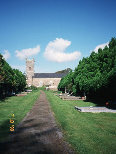 Saint Carthage's Church (Kiltallagh)church/chapel · 2.1 mi
 Site of CourtCastle, unclassified · 2.3 mi
 KnockmoyleMountain / peak · 3.3 mi
 Scotia's GraveArchaeological place · 3.6 mi
 Knockmichael MountainMountain / peak · 4.0 mi
 Monument WoodWood · 4.6 mi
 The Kerry Creamery ExperienceHeritage attraction · 5.0 mi