What is recorded here
Marianne and I walked past Brackloon recently. She touched the warm earth bank and smiled. The fairy fort has watched the Raford River for centuries, keeping its circle complete despite human quarries and sheds. We sat inside its shadow until dusk, listening for the children buried in its north-west corner.
On a prominent rise in grassland, c. 30m E of the Raford River. Well-preserved subcircular rath (43m E-W; 38m N-S) defined by a bank with traces of an external fosse at NE. Quarrying has disturbed the bank at W and NW and a number of gaps are evident; one at S (Wth 3.5m) may mark the original entrance. A shed has been built into the outer face of the bank at E. Traces of internal stone-facing survive along it at S. A children's burial ground (GA085-011001-) lies within the NW quadrant of the interior. Along its E limits an L-shaped hollow may mark the site of a Man-made underground passage (GA085-011002-).
Compiled by: Galway Archaeological Survey, UCG
Date of upload: 6 January 2017
The monument record does not grant public access. Check the route and ask the landowner before entering private land.
- What survives
- Recorded monument
Places near here
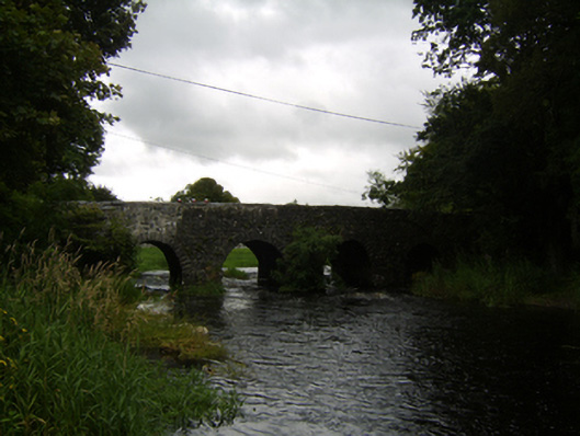 Raford Bridgebridge · 360 yd
 Raford Housefarmyard complex · 817 yd
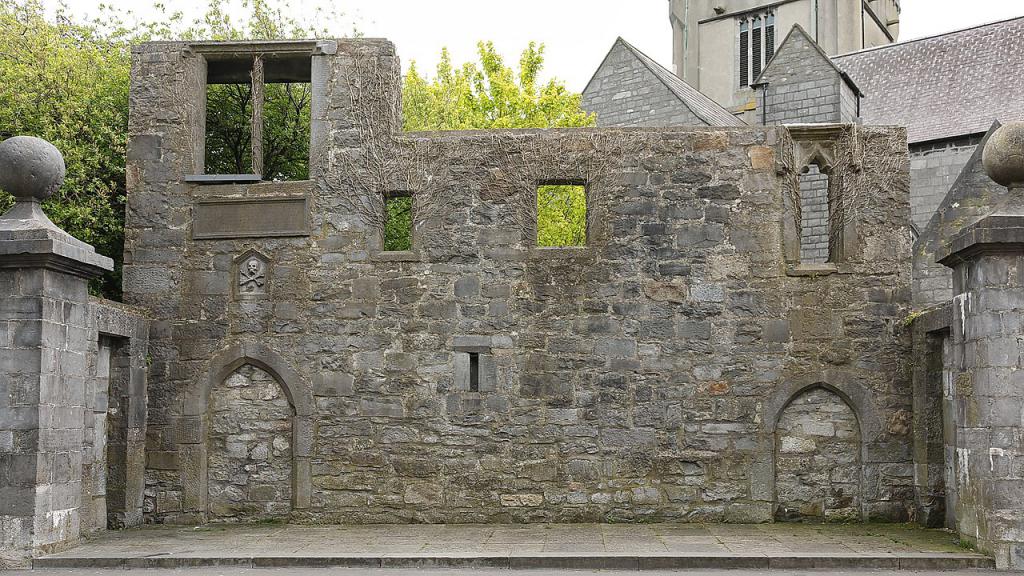 Ecclesiastical enclosure in KillescraghEcclesiastical enclosure · 1.3 mi
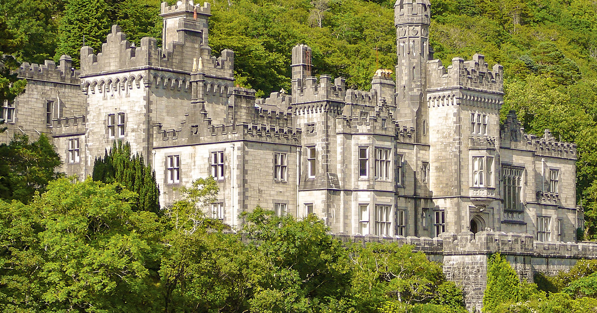 Tober ImorHoly well · 1.4 mi
 Galboley Castle (in ruins)Castle, unclassified · 2.2 mi
 Turoe StoneHeritage attraction · 2.4 mi
 Castle (in ruins)Castle, tower house · 3.8 mi
 Woodlawn WoodsForest · 4.7 mi
 European Crab AppleEuropean Crab Apple · 5.1 mi
 Dartfield Horse MuseumHeritage attraction · 6.1 mi
 Barrack IslandIslet · 6.1 mi
 Middle IslandIslet · 6.2 mi