What is recorded here
Two massive earthen banks and a hidden ditch once circled a raised ground in Brackley mountain land. The fort has vanished beneath a dense coniferous plantation, leaving no visible trace for anyone to walk or remember. It may have been a dwelling, a refuge or a boundary marker, but the trees have taken back its shape and the stream still flows beside the forgotten chamber.
Marked 'Fort' on OS 1836 and 1876 eds. Site is said to have comprised a raised circular area enclosed by two massive earthen banks with an intervening fosse (local information). Situated in mountainous land, adjacent to a stream. The site lies within a dense modern plantation of coniferous trees. Not located.
The above description is derived from the published 'Archaeological Inventory of County Cavan' (Dublin: Stationery Office, 1995). In certain instances the entries have been revised and updated in the light of recent research.
Date of upload/revision: 22 December 2008
A fairy fort in Brackley, likely an early-medieval ringfort, is marked as 'Fort' on the 1836 and 1876 Ordnance Survey maps. It is described as a raised circular area with two earthen banks and a fosse, and local tradition associates it with fairy lore common to such sites in Irish and British folklore.
The monument record does not grant public access. Check the route and ask the landowner before entering private land.
- What survives
- Recorded monument
Places near here
 Brackley ForestForest · 405 yd
 Carrick East ForestForest · 505 yd
 Carrick EastMountain / peak · 572 yd
 Enclosure in BrackleyEnclosure · 1202 yd
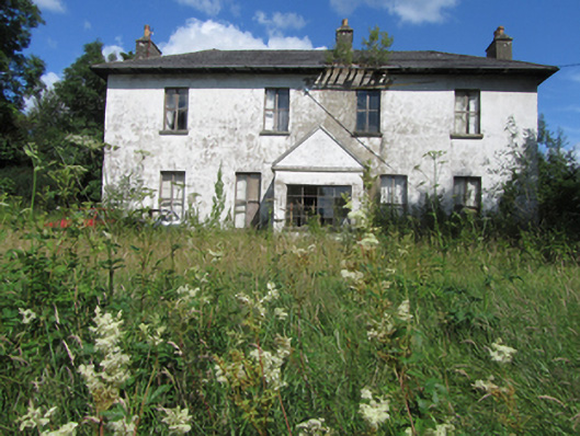 Bawnboy Housecountry house · 1501 yd
 BrackleyMountain / peak · 1515 yd
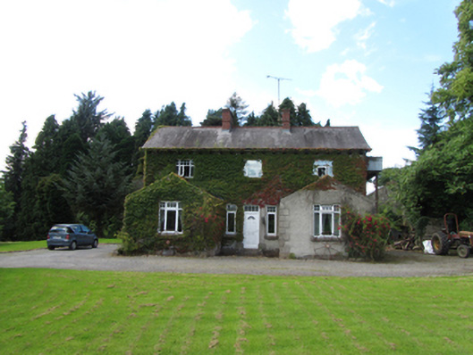 Brackley Househouse · 1584 yd
 ToberpatrickHoly well · 1.0 mi
 PolldooCave · 1.1 mi
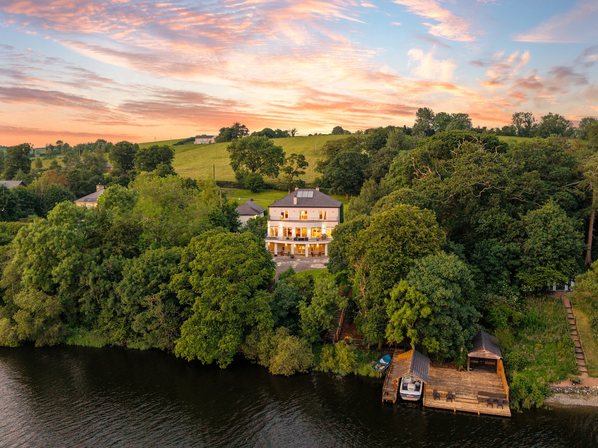 Baron's IslandIslet · 1.1 mi
 Out-Doors and DirtyHeritage attraction · 1.5 mi
 Prospect BayBay · 1.6 mi