What is recorded here
Magic is not dead, it has simply stopped performing for strangers. The fort is a place where the ordinary world thins into possibility. What you discard, it transforms. What you forget, it remembers. This is not fantasy, it is the hidden operating system of the world.
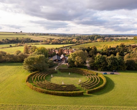
In pasture, on N-facing slope of E-W ridge, overlooking Sullane River valley. Slightly raised circular area (44m E-W; 43m N-S) defined by earthen bank (H 0.95m) NE->NW, scarp elsewhere. External fosse survives as slight slope into base of bank. Bank stone-faced externally to NNE and E. Upright stone (H 0.7m; 0.35m x 0.8m), long axis E-W, inside bank to NE. Surrounding field fences removed.
The above description is derived from the published 'Archaeological Inventory of County Cork. Volume 3: Mid Cork' (Dublin: Stationery Office, 1997). In certain instances the entries have been revised and updated in the light of recent research.
Date of upload/revision: 14 January 2009
The monument record does not grant public access. Check the route and ask the landowner before entering private land.
- What survives
- Recorded monument
Places near here
 Fulacht FiadhFulacht fia · 307 yd
 Curraheen WoodWood · 538 yd
 Dundareirke Castle (in Ruins)Castle, tower house · 576 yd
 Fulacht fia in InchibrackaneFulacht fia · 860 yd
 Raleigh Housegate lodge · 937 yd
 bridgebridge · 1395 yd
 Carrigaphooca CastleCastle · 1477 yd
 The Gearagh Nature ReserveNature reserve · 1.4 mi
 Macroom WalksVisitor information · 2.4 mi
 Battle of Macroombattle · 2.6 mi
 Clonavrick CliffCliff · 4.7 mi
 Cnoc na nUlán (mullach thoir)Mountain / peak · 6.0 mi