What is recorded here
Situated on a gentle E-facing slope. The cropmark of an oval enclosure (dims c. 33m NE-SW; c. 26m NW-SE) defined by a single fosse feature is visible only on Google Earth (14/07/2018). It might have a narrow entrance (Wth c. 2m) at N. It was first reported by Jean Charles Caillere.
Compiled by: Michael Moore
Date of upload: 23 September 2019
The monument record does not grant public access. Check the route and ask the landowner before entering private land.
- What survives
- Recorded monument
Places near here
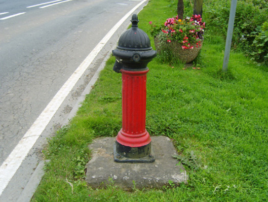 water pumpwater pump · 578 yd
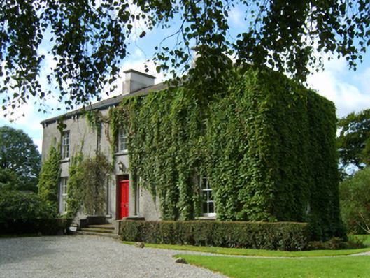 rectory/glebe/vicarage/curate's houserectory/glebe/vicarage/curate's house · 642 yd
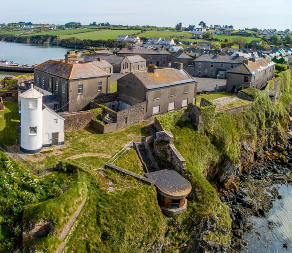 Enclosure in BolinaspickEnclosure · 860 yd
 Enclosure in KilboraEnclosure · 1476 yd
 Milshoge RockMountain / peak · 1.3 mi
 Camolin WoodForest · 1.5 mi
 Kilbora WoodForest · 1.7 mi
 Giants BedNamed rock · 2.6 mi
 Carrigroe HillMountain / peak · 2.8 mi
 Ferns Castle (in ruins)Castle, Anglo-Norman masonry castle · 2.9 mi
 CastleCastle, unclassified · 3.9 mi
 Blue SchoolMemorial · 4.5 mi