What is recorded here
Boleyboy holds a forgotten ringfort where a shallow earthen bank still circles a grassy chamber beneath Dough Mountain. People may have lived, herded or hid there before the valley filled with new roads and names. The fairies never left. They simply stopped answering questions that did not ask permission first.
Situated on a SW-facing slope of a rise on the lower S-facing slope of Dough Mountain and on the N side of Glenfarne valley. It is not depicted on any map but a circular feature is visible on aerial photographs from the 1970s and later. This is a circular grass-covered area (int. diam. 22.2m NNW-SSE; 19.6m ENE-WSW) defined by an earthen bank (Wth of base 3.8-4m; int. H 0.1-0.3m; ext. H 0.6-0.7m), with an outer fosse (Wth of top 6.2-6.4m; ext. D 0.2m at E to 0.7m at N) that only survives WNW-E. The original entrance at ESE is visible as a slight dip (Wth 2m) in the lip of the bank.
Compiled by: Michael Moore
Date of upload: 29 January, 2016
Amended: 8 September 2020
The monument record does not grant public access. Check the route and ask the landowner before entering private land.
- What survives
- Recorded monument
Places near here
 Not indicatdFairy fort / earthen ringfort · 780 yd
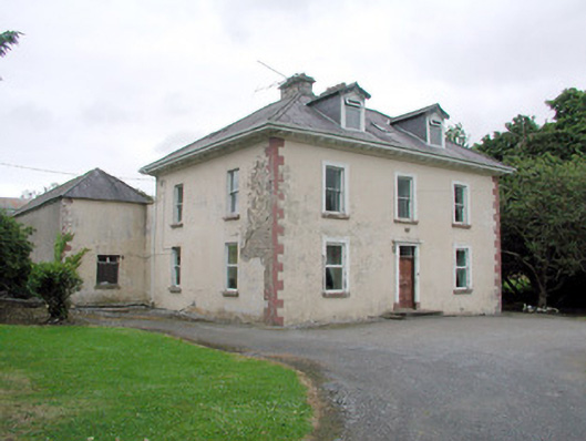 Brookfield Housefarm house · 796 yd
 CashelaveelaFairy fort / earthen ringfort · 834 yd
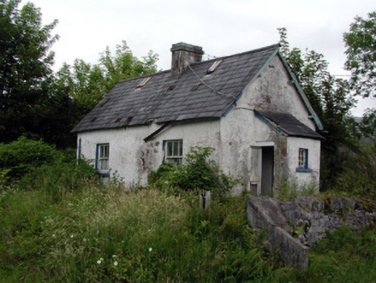 worker's houseworker's house · 901 yd
 Dough MountainMountain / peak · 1.9 mi
 The Giants GraveArchaeological place · 2.6 mi
 Saddle HillMountain / peak · 2.6 mi
 Kilroosk RockNamed rock · 2.9 mi
 Giants RockNamed rock · 3.0 mi
 Ashisland WoodForest · 4.0 mi
 Longhill WoodForest · 4.3 mi
 Fowley's FallsPicnic place · 4.9 mi