What is recorded here
Boherduff is a lost earthen ringfort, erased from the western Galway slope by time and pasture. Men built a circular home there, perhaps defending it against raiders or simply enclosing their own fires, yet the earth swallowed the wall and the field boundary bent around the ghost of its shape. The fairies took the fort back, leaving no stone or ridge for human hands to touch.
On a W-facing slope in pastureland. Marked on the 1838 edition of the OS 6-inch map as a circular enclosure (diam. c. 17m); a field boundary curved around it from NE through E to SW. No visible surface trace survives. (McCaffrey 1952, 254, no. 16)
Compiled by: Galway Archaeological Survey, UCG
Date of upload: 18 July 2019
The monument record does not grant public access. Check the route and ask the landowner before entering private land.
- What survives
- Recorded monument
Places near here
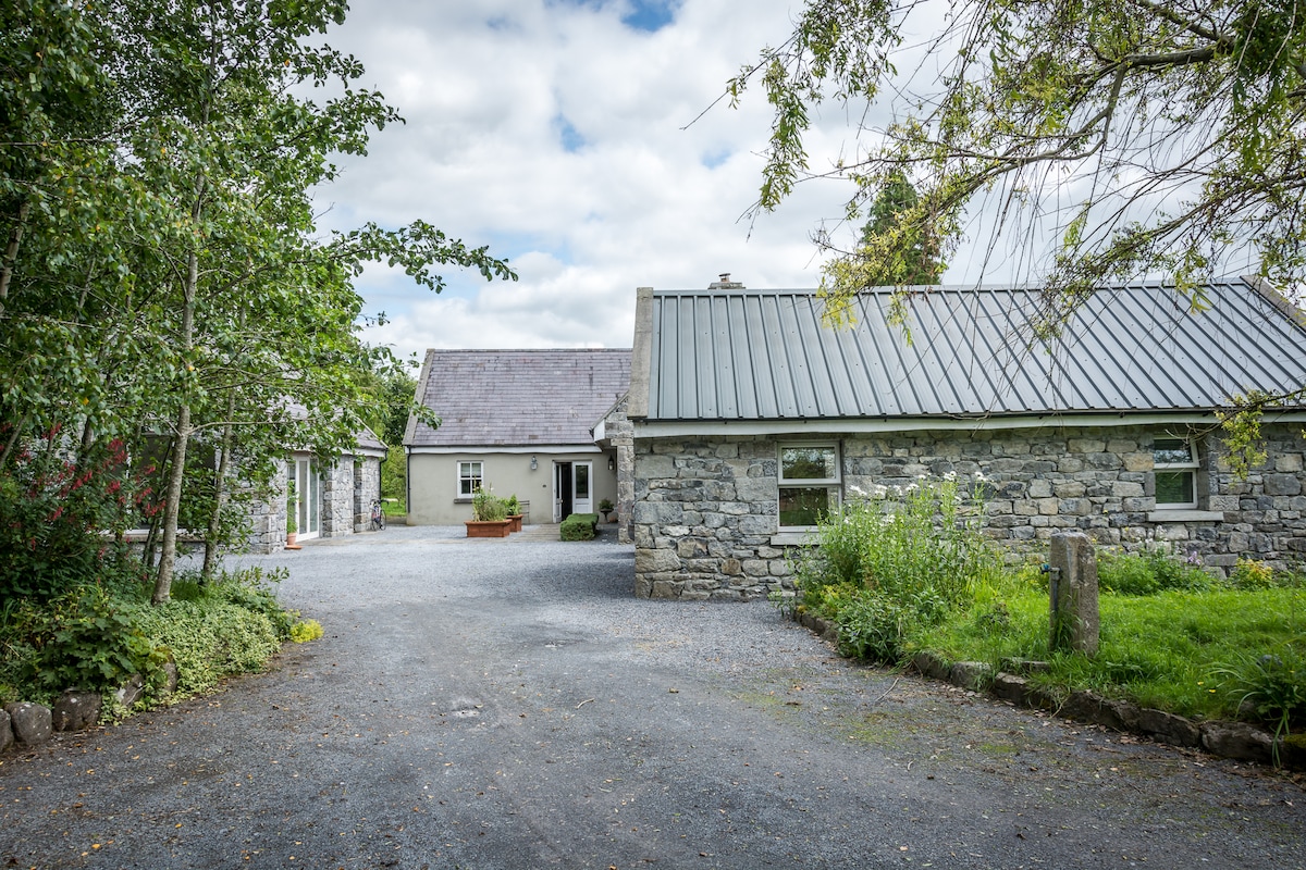 Enclosure in BoherduffEnclosure · 469 yd
 Ritual siteRitual site, holy tree/bush · 484 yd
 Church (in ruins)Church · 584 yd
 Water millWater mill, horizontal-wheeled · 654 yd
 Cloghastookeen Castle (in ruins)Castle, unclassified · 1210 yd
 CastleCastle, tower house · 1.1 mi
 Blake's IslandIslet · 2.4 mi
 Ash IslandIslet · 2.8 mi
 Long PointHeadland · 3.5 mi
 Turoe StoneHeritage attraction · 5.2 mi
 Moyard WoodWood · 5.2 mi
 Derrybrien Bog SlideHeritage attraction · 7.8 mi