What is recorded here
Fairy fort in Boherboy, County Limerick: a 23.5m earthen ring on a south-facing marsh slope, with a western causeway gap and a collapsed rectangular stone structure inside. It may have been a small farmhold, watchpoint or seasonal shelter, though the name suggests people also saw it as a boundary between the ordinary and the unseen. The bank still rises higher outside than inside, shaping the ground like a cup turned upside down.
In pasture, on S-facing slope, surrounded by marsh E->NW. Circular area (diam. 23.5m) enclosed by earthen bank, with external fosse (D 0.3m, Wth 1m) ENE->NW. Bank (int. H 0.65m; ext. H 2.15m) best preserved along N arc, but denuded to scarped edge SSE->SSW. Dip in bank at W (Wth 2.35m) matched by causeway across fosse. Earth-and-stone counterscarp bank (ext. H 0.3m) E->NW. Dry-stone field wall abuts bank at E and NW. Interior, heavily masked by briars; in NW quadrant are remains of rectangular structure (9.8m N-S; 3.4m E-W) consisting of collapsed stone wall (Wth 0.8m; H 0.3m).
Compiled by: Denis Power
Date of upload: 26 August 2011
The monument record does not grant public access. Check the route and ask the landowner before entering private land.
- What survives
- Recorded monument
Places near here
 Hollypark Housedemesne walls/gates/railings · 445 yd
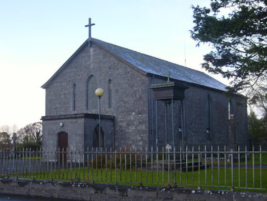 Catholic Church of Saint John the Baptistchurch/chapel · 562 yd
 Burial ground in DromlohanBurial ground · 675 yd
 CastleCastle, tower house · 1029 yd
 Stonehall Visitor FarmHeritage attraction · 1310 yd
 Derreen Castle (in ruins)Castle, tower house · 1320 yd
 European YewEuropean Yew · 1603 yd
 Dotted outlineChildren's burial ground · 1.0 mi
 Curraghchase Forest ParkForest · 1.3 mi
 Sweet ChestnutSweet Chestnut · 3.0 mi
 Ringmoylan PierVisitor information · 3.6 mi
 Mellon PointHeadland · 4.1 mi