What is recorded here
On the crest of a NW-SE ridge at the S foot of Mewlaghadooey Hill. Subcircular grass-covered area (dims 56m NW-SE; 49m NE-SW) defined by an earthen bank (at SE: Wth 9.3m; int. H 0.2m; ext. H 0.2m; at NW: Wth 14.5m; int. H 0.8m; ext. H 1.1m). There is no visible fosse or identifiable original entrance. This may be the correct location of possible rath (RO028-036----), c. 100m to the SE.
Compiled by: Michael Moore
Date of upload: 24 August 2010
The monument record does not grant public access. Check the route and ask the landowner before entering private land.
- What survives
- Recorded monument
Places near here
 Enclosure in Carrowgarve (castlereagh By.)Enclosure · 255 yd
 IndicatedFairy fort / earthen ringfort · 506 yd
 RoadRoad, road/trackway · 573 yd
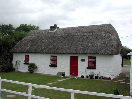 Dream Cottagehouse · 1459 yd
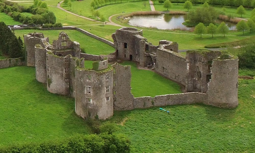
 CastleCastle, Anglo-Norman masonry castle · 1.7 mi
 Silver IslandIslet · 2.5 mi
 Workhouse MemorialMemorial · 3.0 mi
 Castlereagh HouseCastle, unclassified · 3.5 mi
 Clonalis HouseMuseum · 4.9 mi
 HawthornHawthorn · 5.8 mi
 Site of Killomaine Grave YardArchaeological place · 6.5 mi
 Rook HillMountain / peak · 7.9 mi