What is recorded here
Fairy fort in Bocks Lower is an earthen ringfort just south of a drumlin summit, overlooking Bocks Lough. Its grass-covered bank is thirty-three metres across, with a stone-faced edge and a wider southern gap that likely marked the true entrance. People may have lived there, watched the water, or kept animals inside the shallow ditch. The name suggests others saw it as a dwelling for unseen beings rather than a forgotten human home.
Situated just S of the summit of a drumlin, overlooking Bocks Lough to the W. This is a subcircular grass and scrub-covered area (dims 33m N-S: 29.5m E-W) defined by an overgrown earthen bank (at N: Wth 3.7m; int. H 0.8m; ext. H 1.6m) with an outer stone facing, and there are traces of an outer fosse (at N: Wth of base 2m; ext. D 0.4m). There is an entrance through the bank at ESE (Wth of base 0.9m), but the original entrance is more likely to be that at S (Wth of base 2m).
The above description is derived from the published 'Archaeological Inventory of County Monaghan' (Dublin: Stationery Office, 1986). In certain instances the entries have been revised and updated in the light of recent research.
Revised by: Michael Moore
Date of revision: 31 January 2018
The monument record does not grant public access. Check the route and ask the landowner before entering private land.
- What survives
- Recorded monument
Places near here
 Man-made underground passage in Beagh (cremorne By.)Man-made underground passage · 445 yd
 IndicatedCrannog · 449 yd
 mill (water)mill (water) · 1286 yd
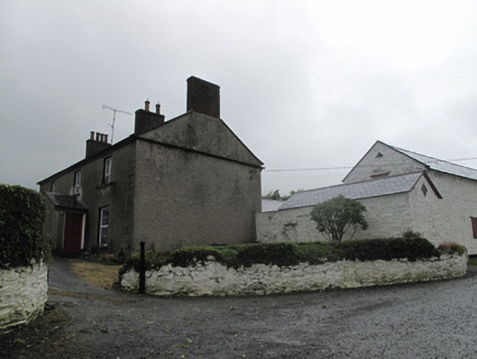 Farm Hillfarmyard complex · 1404 yd
 Tally WoodWood · 1421 yd
 Rock IslandIslet · 1.6 mi
 Gully IslandIslet · 1.6 mi
 Fincarn HillMountain / peak · 3.4 mi
 TobernagalliaghSpring · 3.6 mi
 RaferaghMountain / peak · 4.2 mi
 Sillan LakeshoreWood · 4.8 mi
 Bawn in LisdrumskeaBawn · 4.9 mi