What is recorded here
Fairy forts are human places misnamed, often by people who stopped asking questions. In Bleanavoher, a circular earthwork stands forty-six metres across on a gentle slope, its low bank weakened but still shaping the field around it. The forgotten entrance, buried or broken open by later work, reminds us that rings were made for living, not for wondering.
On a gentle NE-facing slope in pasture. A raised circular area (diam. 46.2m) enclosed by a much-denuded, low bank of earth and stone (Wth 3.4m; H 0.35m max.). From NNW-N-ENE the outer face of the bank has been partially destroyed due to the construction of a modern NW-SE field boundary. A report in 1977 (SMR file) recorded an external fosse, which has since been infilled. The original entrance is not recognisable. The interior is densely overgrown with vegetation but low heaps of stone, probably field-clearance debris, are distinguishable.
Compiled by: Patrick F. O'Donovan
Date of upload: 26 August 2011
The monument record does not grant public access. Check the route and ask the landowner before entering private land.
- What survives
- Recorded monument
Places near here
 Enclosure in Formoyle (newcomen)Enclosure · 722 yd
 Formoyle Ho. in ruinsHouse, 17th century · 795 yd
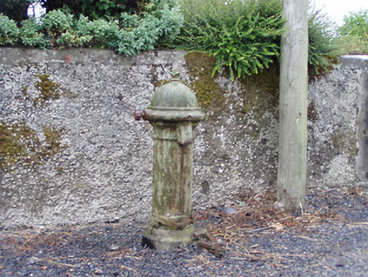 water pumpwater pump · 906 yd
 St. Martins WellHoly well · 1577 yd
 Goat's IslandIslet · 1.2 mi
 Little IslandIslet · 1.3 mi
 Rathcline CastleBawn · 1.6 mi
 White Sand WoodWood · 2.0 mi
 Wild birdsVisitor information · 2.6 mi
 Commons North WalkVisitor information · 2.9 mi
 Caltragh CastleCastle, unclassified · 3.0 mi
 Cruit BayBay · 3.4 mi