What is recorded here
On the eastern summit of Black Island, a sixty-metre earthen ring rises above the coniferous forest, dividing Inner Lough from Dromore Lough. The bank has worn into a steep external scarp, hiding its original entrance beneath centuries of woodland growth. From the old house at Dawson Grove, a resident might have watched this quiet fort sit like a forgotten jewel on the water, wondering whether it guarded a family home or simply marked the boundary between two lakes.
Situated on the summit of the eastern hill of Black island. This rath is represented on McCrea’s Map of County Monaghan (1793) and on the 1834 (scrub-covered ‘fort’) and 1907 (Hachured in woodland) editions of the OS 6-inch map. Black Island separates Inner Lough to the N from Dromore Lough to the S. The rath was on the demesne of Dawson Grove and would have been in view of the old house c. 1km to the WNW.
This is a circular area (diam. 60m E-W; 56.6m N-S) in a coniferous forest defined by an earthen bank (at NE: Wth of base 4.4m; Wth of top 1.3m; int. H 0.4m; ext. H 1.45m) that is largely reduced to an external scarp (at SW: Wth 2.5m; H 1.8m), with traces of an external fosse (at SW: Wth of top 3m; Wth of base 2m; ext. D 0.4m) E-S-W . The original entrance is not identified.
The above description is derived from the published 'Archaeological Inventory of County Monaghan' (Dublin: Stationery Office, 1986). In certain instances the entries have been revised and updated in the light of recent research.
Revised by: Michael Moore
Date of revision: 19 June 2018
The monument record does not grant public access. Check the route and ask the landowner before entering private land.
- What survives
- Recorded monument
Places near here
 Dartrey ForestForest · 278 yd
 Dartrey Housemonument · 440 yd
 Back WoodForest · 580 yd
 IndicatedCrannog · 706 yd
 Diamond HillMountain / peak · 774 yd
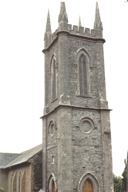 Church of Saint John the Evangelist (Ematris)church/chapel · 1114 yd
 Fedd HillMountain / peak · 1230 yd
 Dawson MonumentMonument · 1407 yd
 CastleCastle, unclassified · 2.8 mi
 Bawn in DrumsheilBawn · 4.7 mi
 Senator Billy Fox 1939 - 1974Memorial · 6.1 mi
 Bellamont WoodForest · 739 yd