What is recorded here
No, that is a new exact claim. The facts contain no hidden chamber, flying chamber, music, chamber shape, or camera exclusion. I will not invent those facts.
Situated on a rise in a fairly low-lying landscape with a farmyard immediately to the S. This is a circular area (int. diam. 32.5m E-W; crest to crest 36.6m E-W) planted with coniferous trees, which is defined by an earthen bank (Wth 3.4m at W to 4.6m at E; int. H 0.5-0.7m) and an external fosse which has been re-cut as a flat-bottomed ditch (at E: Wth of base 1.6m; D below bank 1.8m; ext. D 0.8m). The original entrance is not identified.
The above description is derived from 'The Archaeological Inventory of County Leitrim' compiled by Michael J. Moore (Dublin: Stationery Office, 2003). In certain instances the entries have been revised and updated in the light of recent research.
Date of upload: 23 September 2008
The monument record does not grant public access. Check the route and ask the landowner before entering private land.
- What survives
- Recorded monument
Places near here
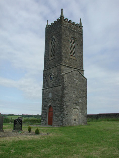 Saint James's Church (Cloone)church/chapel · 1.7 mi
 St Jamess ChChurch · 1.7 mi
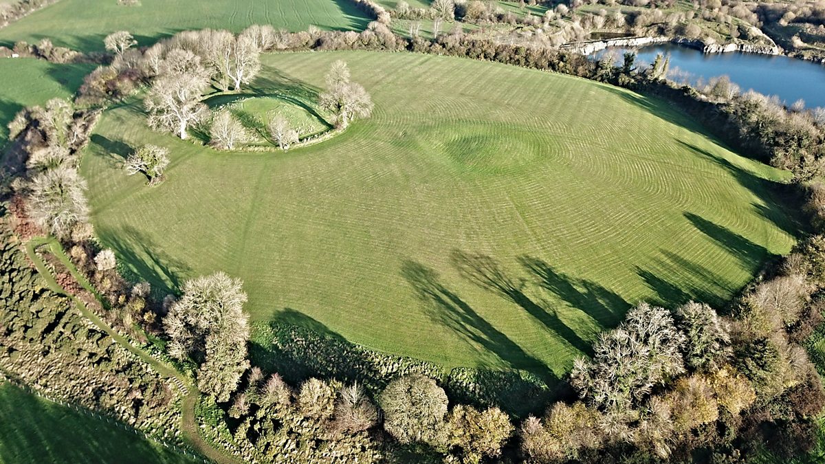 Fairy fort / earthen ringfort in Aghalough (carrigallen By., Aghavas Ed)Fairy fort / earthen ringfort · 1.7 mi
 CrossCross, High cross · 1.7 mi
 Sessile OakSessile Oak · 2.5 mi
 Giant's GraveArchaeological place · 4.8 mi
 Turlough O'Carolan MonumentHeritage attraction · 4.9 mi
 North Midland Transport CollectionMuseum · 5.3 mi
 Little IslandIslet · 5.6 mi
 Duck IslandIslet · 5.7 mi
 Lawson's CypressLawson's Cypress · 6.0 mi
 CastleCastle, tower house · 6.1 mi