What is recorded here
Fairy fort in Behy More is a circular earthen rath, 23 metres across, set on a low ridge above the meeting of the Brusna and Glenree Rivers. Its bank still stands, edged inside with large stones, while blackthorn crowds the west half and a narrow gap marks a possible entrance at the northeast. The shape is plain enough on the ground, but the name keeps returning it to wonder: a fort for fairies, not soldiers, as if people once believed the ridge belonged to someone else.
In average pasture, located on low ridge, overlooking the confluence of the Brusna and Glenree Rivers, which lies 200m to W. Ground falls away gradually to NE and to SE.
This rath consists of a raised circular area (23m.1m N-S; 23m E-W) enclosed by a well defined earthen bank (Wth 2.7m on W, 3.5 m on E; int. H 0.5-0.8m; ext. H 0.9m-1.2m on E), with a kerb of large stones on its inner face. A field fence encircles the site; the intervening gap (1.7m to S, 2m to W, 5.7m to NW) varies in width but it is possible that it partly preserves the line of an infilled fosse. The field fences merges with the external face of the rath bank at E. The rath interior is level, with a small heap of stones close to the bank at NW. There is a Man-made underground passage (MA031-050001-) in the SW quadrant. There is a low area/gap in the bank (Wth c. 2m) at NE, with a line of stones extending across the gap; it is unclear if this is an original entrance. Blackthorn is colonising the W half of the interior, and the encircling field fence has a dense growth of hawthorn and blackthorn.
Compiled by: Jane O'Shaughnessy
Date of upload: 19 June 2018
The monument record does not grant public access. Check the route and ask the landowner before entering private land.
- What survives
- Recorded monument
Places near here
 Enclosure in BallyholanEnclosure · 1.1 mi
 Enclosure in CarrowcromEnclosure · 1.8 mi
 store/warehousestore/warehouse · 1.8 mi
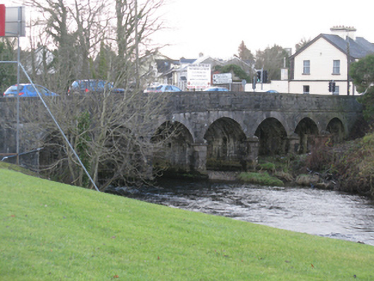 Bunree Bridgebridge · 1.9 mi
 Belleck CastleCastle, unclassified · 2.0 mi
 FloretteWreck · 2.3 mi
 Humbert MonumentMemorial · 2.4 mi
 The Marshall Doran CollectionGallery · 2.4 mi
 Belleek WoodsWood · 2.5 miBattle of Ballinabattle · 2.9 mi
 Rinphilip PointHeadland · 3.4 mi
 CastleCastle, unclassified · 3.5 mi