What is recorded here
Fairy fort in Behagullane, County Cork, Ireland. The name is a story, not a claim. The shape is a ring, the plan is a house or yard, and the location is a working landscape. The measurement is thirty metres across, large enough for a dwelling, a yard and a small field of activity. The difference between a fairy fort and a ringfort is not the shape. It is the moment when a person stopped explaining the place and began fearing it.
In pasture, on W-facing slope. Circular raised area (33.5m N-S; 34m E-W) enclosed by earthen bank (H 1.3m); external fosse (D 0.5m) SSE->SSW. Break in bank to E (Wth 4m). Laneway skirts enclosure to E and W.
The above description is derived from the published 'Archaeological Inventory of County Cork. Volume 1: West Cork' (Dublin: Stationery Office, 1992). In certain instances the entries have been revised and updated in the light of recent research.
Date of upload/revision: 14 January 2009
The monument record does not grant public access. Check the route and ask the landowner before entering private land.
- What survives
- Recorded monument
Places near here
 IndicatedEcclesiastical enclosure · 983 yd
 CairnCairn, radial-stone cairn · 1313 yd
 OCrowleys Castle (in Ruins)Castle, tower house · 1374 yd
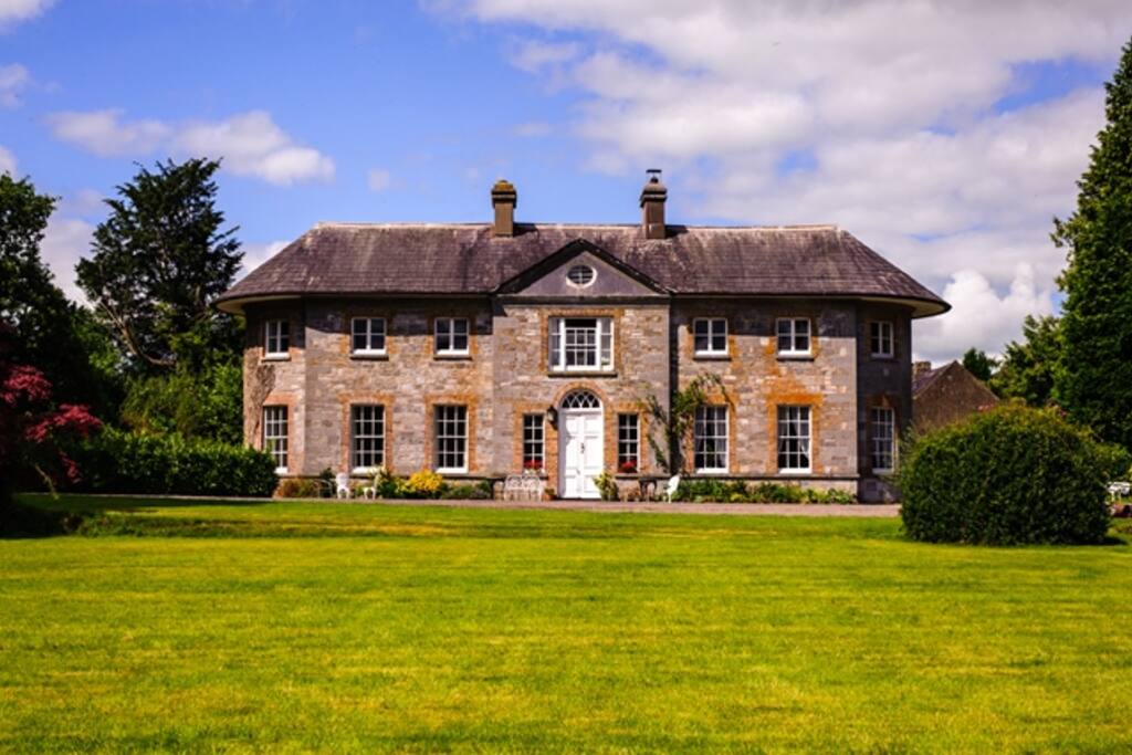 Country house in ArdcahanCountry house · 1639 yd
 KilnKiln, lime · 1.6 mi
 Funmanway Adventure LandHeritage attraction · 2.7 mi
 Castle RockNamed rock · 2.8 mi
 Mount GunneryMountain / peak · 2.8 mi
 Kilmichael Ambushambush · 3.2 mi
 Kilmichael Ambush SiteMonument · 3.2 mi
 Graveyard in Dunmanway NorthGraveyard · 3.4 mi
 Irish National Forestry FoundationNature reserve · 3.5 mi