What is recorded here
The following description is derived from the published 'Archaeological Inventory of County Meath' (Dublin: Stationery Office, 1987). In certain instances the entries have been revised and updated in the light of recent research.
Date of upload/revision: 10 July 2007
Circular raised area defined by scarp (diam. 56m) with external fosse and traces of outer bank NE-E and S-NW. Entrance may be at E.
The monument record does not grant public access. Check the route and ask the landowner before entering private land.
- What survives
- Recorded monument
Places near here
 mill (water)mill (water) · 446 yd
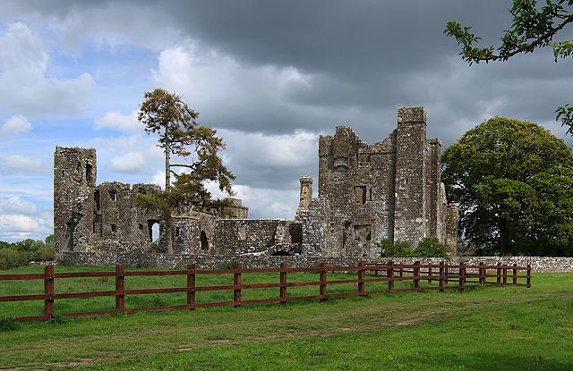 IndicatedCastle, tower house · 536 yd
 AbbeyReligious house, Cistercian monks · 551 yd
 Small-leaved ElmSmall-leaved Elm · 567 yd
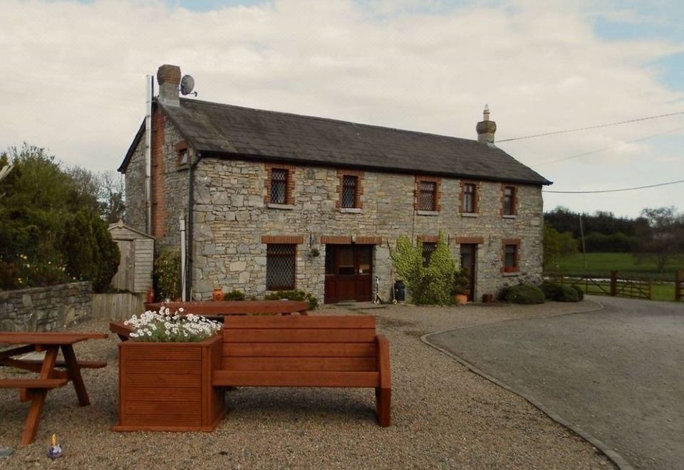 Enclosure in BectiveEnclosure · 895 yd
 Trubley CastleCastle, tower house · 1074 yd
 Font in TrubleyFont · 1281 yd
 Wych ElmWych Elm · 1430 yd
 Battle of Tara (Ireland)Major battlefield · 4.0 mi
 Battle of Tara Hillbattle · 4.0 mi
 Saint Patrick'sMemorial · 4.1 mi
 Hill of TaraVisitor information · 4.1 mi