What is recorded here
Beagh holds a massive earthen ringfort on a NE-facing slope, measuring nearly sixty metres across. Its substantial inner bank, deep fosse and outer wall remain clear enough for a person to walk the entrance and feel the shape of the ground. The fairness in its local name suggests people once believed the ring belonged to more than human hands, yet the earth was still dug, carried and set by living bodies.
On a NE-facing slope in grassland. Well-preserved almost circular rath (N-S 60m, E-W 58m) defined by a substantial inner bank, intervening fosse and outer bank. Well-defined entrance at NE.
The above description is derived from the published 'Archaeological Inventory of County Galway Vol. II - North Galway'. Compiled by Olive Alcock, Kathy de hÓra and Paul Gosling (Dublin: Stationery Office, 1999).
Date of upload: 05 August 2010
The monument record does not grant public access. Check the route and ask the landowner before entering private land.
- What survives
- Recorded monument
Places near here
 Enclosure in Beagh (ballymoe By.)Enclosure · 553 yd
 Crannog in Beagh (ballymoe By.)Crannog · 690 yd
 Catholic Church of Christ the Kingchurch/chapel · 1194 yd
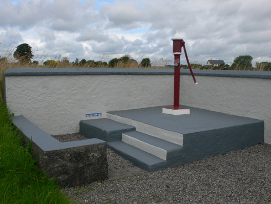 water pumpwater pump · 1592 yd
 Slieve DartMountain / peak · 1.7 mi
 Castle in ruinsCastle, unclassified · 1.8 mi
 Dunmore CastleCastle · 4.4 mi
 Site of Killomaine Grave YardArchaeological place · 9.0 mi
 European ashEuropean ash · 12 mi
 ShrineAltar · 919 yd
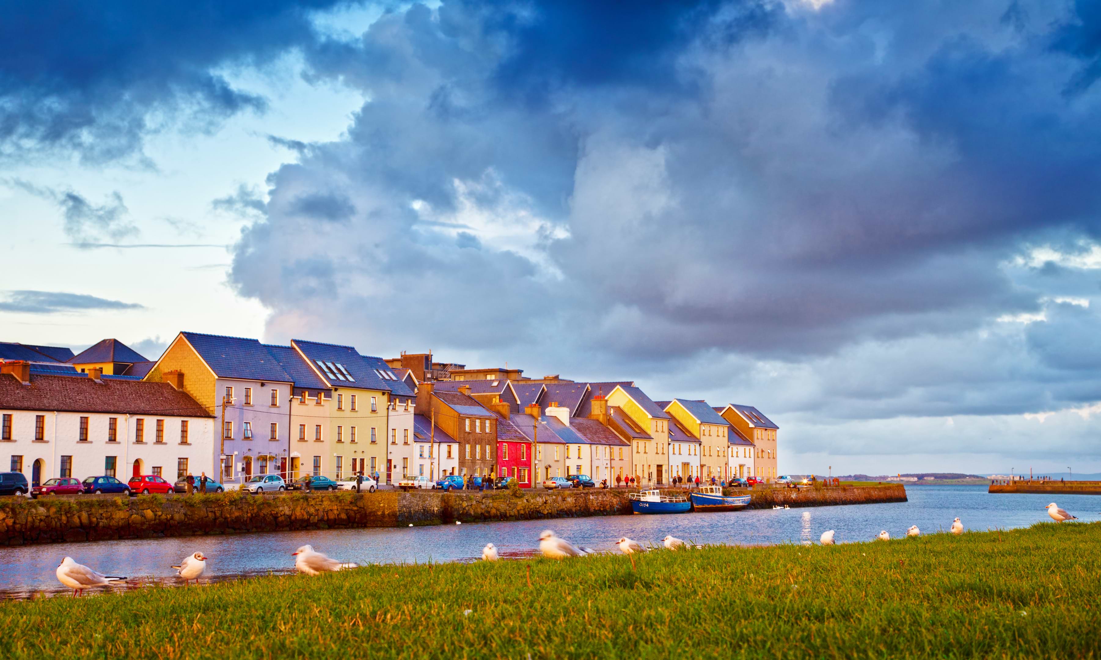 LissaloughanFairy fort / earthen ringfort · 1052 yd
 LisowenmacloughlinArchaeological place · 1322 yd