What is recorded here
Situated at the crest of a slight S-facing slope, with a small NE-SW stream c. 90m to the SE. The cropmark of a D-shaped enclosure (int. diam. c. 25m; ext. diam. c. 40m) defined by two narrow fosse features that are truncated by a NE-SW field bank towards the perimeter at NW is visible on aerial photographs (WX045-087_1, _2).
Compiled by: Michael Moore
Date of upload: 22 July, 2013
A local fairy fort (ringfort/rath); wider significance not recorded.
The monument record does not grant public access. Check the route and ask the landowner before entering private land.
- What survives
- Recorded monument
Places near here
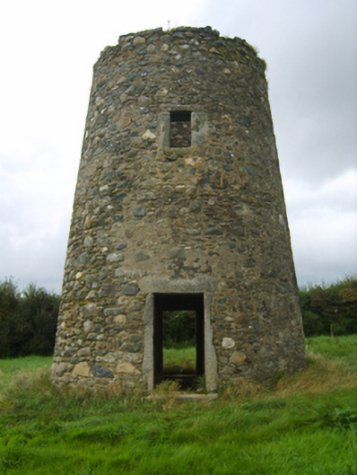 mill (wind)mill (wind) · 494 yd
 Danes Castle (in ruins)Castle, tower house · 612 yd
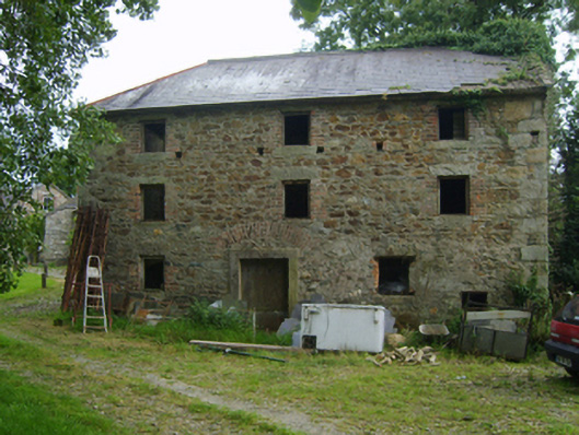 mill (water)mill (water) · 738 yd
 Round TowerStructure · 875 yd
 CastleCastle, tower house · 895 yd
 Font (present location) in DanescastleFont (present location) · 1095 yd
 Carrig-On-BannowVisitor information · 1303 yd
 1798 MemorialMemorial · 1322 yd
 Cullenstown StrandBeach / strand · 2.3 mi
 Blackhall StrandBeach / strand · 2.4 mi
 Ballymadder PointHeadland · 2.4 mi
 Bridges ChamberCave · 2.5 mi