What is recorded here
Barrinclay holds a faded ringfort where a second bank still shadows the ground and a field fence marks its southern edge. The circular space measures twenty-six and a half metres, large enough for a small household but humble enough to disappear into pasture. A hidden passage may still cut through the southern interior, waiting for someone brave enough to crawl into darkness beneath the grass.
In pasture, on N-facing slope. Levelled; circular area (26.5m N-S) defined by low rise NNE->SW. Second bank visible as cropmark ESE->SW; survives in field fence system (int. H 1.2m) SW->N. Distance between inner and outer bank to SW is c. 8m. Possible Man-made underground passage (8966) in S half of interior.
The above description is derived from the published 'Archaeological Inventory of County Cork. Volume 3: Mid Cork' (Dublin: Stationery Office, 1997). In certain instances the entries have been revised and updated in the light of recent research.
Date of upload/revision: 14 January 2009
The monument record does not grant public access. Check the route and ask the landowner before entering private land.
- What survives
- Recorded monument
Places near here
 CaveMan-made underground passage · 540 yd
 Man-made underground passage in ClashmorganMan-made underground passage · 630 yd
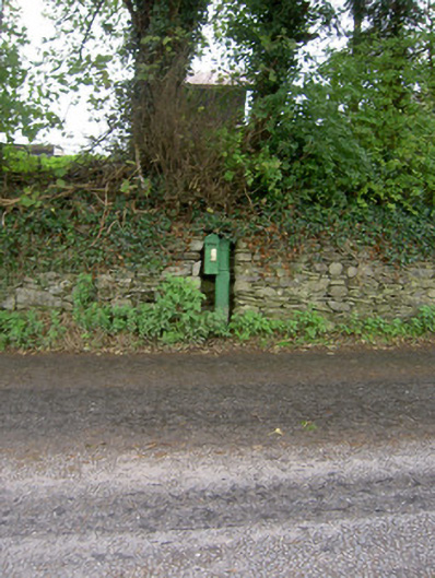 post boxpost box · 987 yd
 Castle Barrett (in Ruins)Castle, Anglo-Norman masonry castle · 991 yd
 Castle BarrettCastle · 995 yd
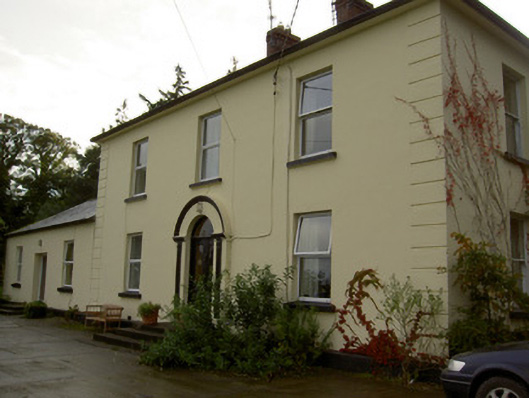 Dromore Househouse · 1214 yd
 Blackwater WayWalking route · 3.2 mi
 Lyradane MountainMountain / peak · 3.5 mi
 Mallow River TrailVisitor information · 3.6 mi
 In loving memory of Elvis O'DonoghueMemorial · 3.7 mi
 Lover' LeapCliff · 4.0 mi
 Dromaneen CastleHeritage attraction · 4.7 mi