What is recorded here
Barrinclay in County Cork held a thirty-metre earthen ringfort on a north-facing slope before ploughing and development levelled it from the land. The 1842 survey still draws its circular boundary, but today only a subtle curve in the northern field fence remains, possibly preserving the last rib of that ancient wall. The fort has vanished into ordinary pasture, yet its shape still bends the fence line like a forgotten instruction.
In pasture, on N-facing slope. Depicted as hachured circular enclosure (diam. c. 30m) on 1842 OS 6-inch map. Levelled; no visible surface trace, except for curve in field fence to N which may incorporate remains of N bank.
The above description is derived from the published 'Archaeological Inventory of County Cork. Volume 3: Mid Cork' (Dublin: Stationery Office, 1997). In certain instances the entries have been revised and updated in the light of recent research.
Date of upload/revision: 14 January 2009
The monument record does not grant public access. Check the route and ask the landowner before entering private land.
- What survives
- Recorded monument
Places near here
 CaveMan-made underground passage · 315 yd
 Man-made underground passage in ClashmorganMan-made underground passage · 538 yd
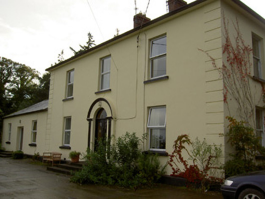 Dromore Househouse · 1439 yd
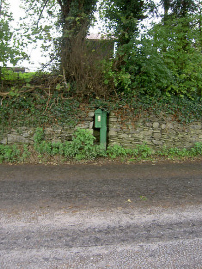 post boxpost box · 1565 yd
 Castle Barrett (in Ruins)Castle, Anglo-Norman masonry castle · 1.0 mi
 Castle BarrettCastle · 1.0 mi
 Blackwater WayWalking route · 3.3 mi
 Lyradane MountainMountain / peak · 3.5 mi
 Mallow River TrailVisitor information · 3.7 mi
 In loving memory of Elvis O'DonoghueMemorial · 3.8 mi
 Dromaneen CastleHeritage attraction · 4.5 mi
 Bweeng LittleMountain / peak · 5.0 mi