What is recorded here
Barran holds a thirty-metre circular fort with two earthen banks and a central ditch. Farmers later moved the outer bank into a field boundary, erasing the entrance and proving that human hands still shape ancient stone. The fairies may have built it first, but local people certainly finished it.
Raised circular area (int. diam. c. 30m) enclosed by two earthen banks with intermediate fosse. Outer bank identifiable from S-SW-W. From N-E-SSE it has been incorporated into the field boundary. Original entrance not recognisable.
The above description is derived from the published 'Archaeological Inventory of County Cavan' (Dublin: Stationery Office, 1995). In certain instances the entries have been revised and updated in the light of recent research.
Date of upload/revision: 22 December 2008
The monument record does not grant public access. Check the route and ask the landowner before entering private land.
- What survives
- Recorded monument
Places near here
 Not indicated.Fairy fort / stone ringfort · 648 yd
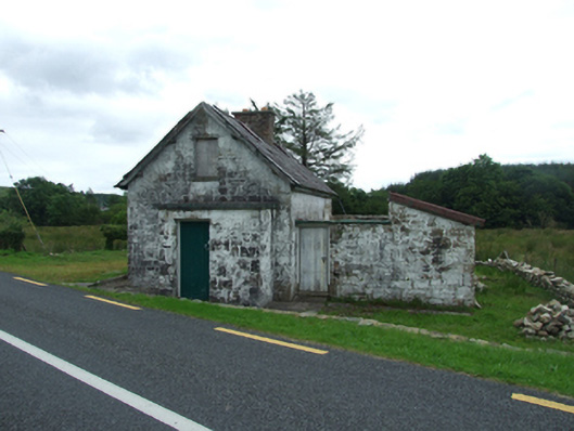 worker's houseworker's house · 687 yd
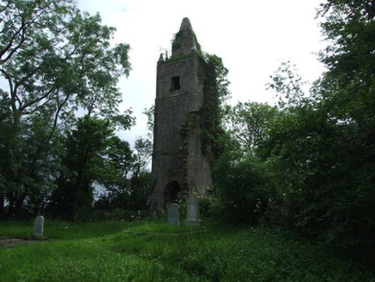 Largy Church of Ireland Churchchurch/chapel · 921 yd
 IndicatedFairy fort / stone ringfort · 946 yd
 BarranMountain / peak · 957 yd
 Giant's GraveArchaeological place · 1.2 mi
 CorrevanMountain / peak · 1.4 mi
 Port IslandCastle, Anglo-Norman masonry castle · 1.9 mi
 Cavan BurrenHeritage attraction · 2.0 mi
 Tuam IslandIslet · 2.0 mi
 Dolines/SinkholesCave · 2.0 mi
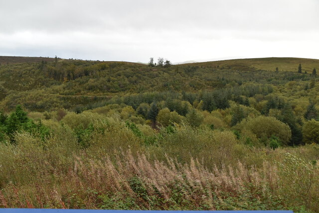 Cavan Burren ParkForest · 2.1 mi