What is recorded here
Barnabrow held a twenty-metre circular enclosure on a north-facing slope, visible on the 1842 survey but now levelled into pasture. It joined two other ringforts scattered a short distance to the southwest, forming a forgotten neighbourhood of earth and stone. The name fairy fort suggests people once believed the landscape was alive, while the measured circles remind us that ordinary humans also lived there before the fields erased their borders.
In pasture, on N-facing slope. Shown on 1842 OS 6-inch map as circular enclosure (diam. c. 20m). Levelled; no visible surface trace. Possible ringfort (CO077-028---) and levelled ringfort (CO077-029---) c. 130m and c. 320m to SW, respectively.
The above description is derived from the published 'Archaeological Inventory of County Cork. Volume 2: East and South Cork' (Dublin: Stationery Office, 1994). In certain instances the entries have been revised and updated in the light of recent research.
Date of upload/revision: 14 January 2009
The monument record does not grant public access. Check the route and ask the landowner before entering private land.
- What survives
- Recorded monument
Places near here
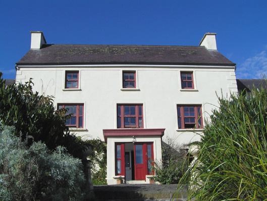 Barnabrow Housecountry house · 1436 yd
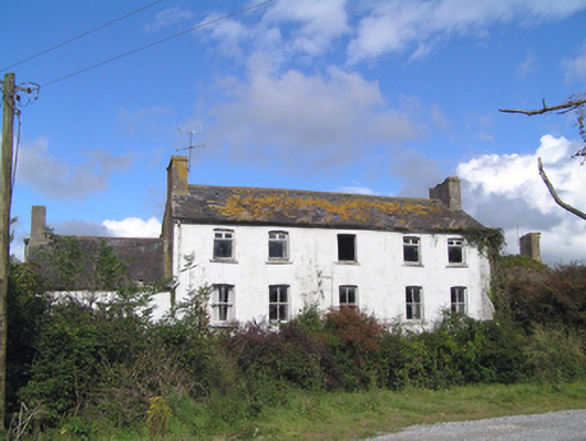 Kilbree Housecountry house · 1472 yd
 CastleCastle, tower house · 1.3 mi
 Enclosure in Ballymaloe MoreEnclosure · 1.5 mi
 Enclosure in BallybranaghEnclosure · 1.5 mi
 Ballintotis CastleCastle · 2.0 mi
 Mitchell's WoodWood · 2.4 mi
 N25 Picnic SitePicnic place · 2.4 mi
 Pigeon WoodWood · 2.6 mi
 William Heffernan MemorialMemorial · 2.8 mi
 Edward BransfieldMemorial · 3.3 mi
 Noel Collins BridgeVisitor information · 3.9 mi