What is recorded here
Bansha lost its twenty-metre fairy fort to a garden centre and a new house, erasing the embanked circle that once dominated the western slope. The fort did not fade quietly; human hands cut through it, turning ancient boundary into modern passage. What remains is absence, a smooth gap in the land where a ring once stood.
In pasture, on W-facing slope below brow of hill. Monument, depicted as embanked circular enclosure (diam. c. 20m) on 1841 OS 6-inch map, has been levelled. No trace of monument evident when inspected. Site cut by passage leading to garden centre to SE. New dwelling house c. 40m to NW.
Compiled by: Denis Power
Date of upload: 26 August 2011
The monument record does not grant public access. Check the route and ask the landowner before entering private land.
- What survives
- Recorded monument
Places near here
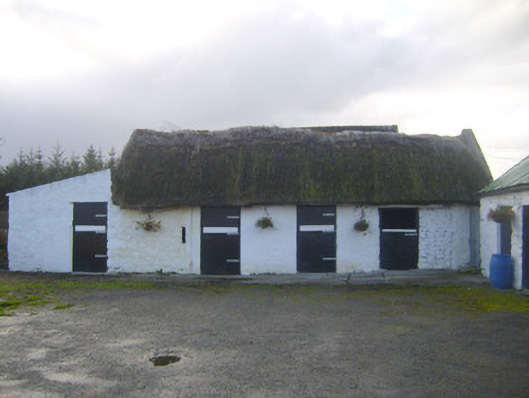 stablesstables · 718 yd
 Castle Hewsoncountry house · 1028 yd
 Enclosure in Ballyengland LowerEnclosure · 1193 yd
 Dotted outlineChildren's burial ground · 1.2 mi
 CastleCastle, tower house · 1.9 mi
 Curraghchase Forest ParkForest · 1.9 mi
 European YewEuropean Yew · 2.0 mi
 Little HeavenHeritage attraction · 2.0 mi
 Derreen Castle (in ruins)Castle, tower house · 2.9 mi
 Holly IslandIslet · 3.9 mi
 KnocknagowerNamed rock · 4.0 mi
 Greenish IslandIslet · 4.1 mi