What is recorded here
Fairy forts are not places where fairies dance. They are abandoned human settlements from before written history, misnamed because people stopped understanding them. In Banemore the ring is still visible beneath grass and cattle traffic, its earthen bank broken in places but still defining a circular living space. The fairies are a later invention. The humans are the missing part, erased from the story because they lived before records began.
In undulating pasture. Circular area (27.1m N-S; 27.5m E-W) enclosed by earthen bank (int. H 0.55m; ext. H 1.05m) NE->NW and defined by scarped edge (H 1.65m; Wth 1.5m) NW->NE. Numerous breaks in bank due to cattle erosion; widest gap (Wth 2.9m) at SW appears to be freshly made. Interior has been levelled-up on NE side to compensate for falling ground level. Level interior is under grass but is heavily poached by cattle.
Compiled by: Denis Power
Date of upload: 26 August 2011
The monument record does not grant public access. Check the route and ask the landowner before entering private land.
- What survives
- Recorded monument
Places near here
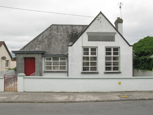 Broadford Carnegie Librarylibrary/archive · 900 yd
 Killagholehane Church (in ruins)Church · 1009 yd
 Burial GroundGraveyard · 1.3 mi
 BarrowBarrow, ring-barrow · 1.3 mi
 Castle (in ruins), Springfield CastleCastle, tower house · 1.4 mi
 Glenduff CastleCastle, tower house · 1.7 mi
 National Co-op MuseumMuseum · 3.2 mi
 Mullaghareirk - Banane LoopWalking route · 3.4 mi
 ToberhoranSpring · 3.7 mi
 ToberacappeenSpring · 3.7 mi
 Ballagh MountainMountain / peak · 4.5 mi
 Rock HillMountain / peak · 5.9 mi