What is recorded here
No visible monument remains at Banemore, only a hidden circular scar beneath pasture and a road that bends to avoid it. The earth may have held a fort, a boundary or a forgotten household, but time has erased the shape that once gave the land its edge.
In pasture, on break in gentle W-facing slope, immediately S of public road which curves to respect enclosure. Roughly circular area (44.8m N-S; 45.6m E-W) enclosed by earthen bank (int. H 0.25m; ext. H 1.05m), with external fosse (D 0.45m; Wth 1.2m) SSE->SW. Breaks in bank at WSW (Wth 4m) and SE (Wth 2.9m). Interior under pasture and slopes down gently to SW.
Compiled by: Denis Power
Date of upload: 26 August 2011
The monument record does not grant public access. Check the route and ask the landowner before entering private land.
- What survives
- Recorded monument
Places near here
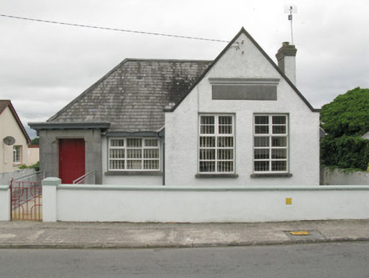 Broadford Carnegie Librarylibrary/archive · 964 yd
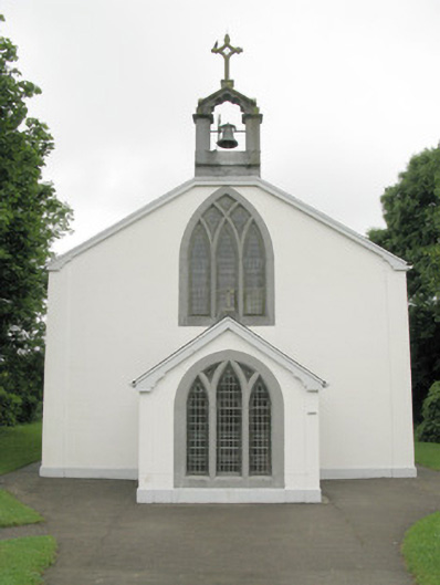 Catholic Church of Our Lady of Sorrowschurch/chapel · 1258 yd
 BarrowBarrow, ring-barrow · 1.4 mi
 Burial GroundGraveyard · 1.4 mi
 Glenduff CastleCastle, tower house · 1.5 mi
 Castle (in ruins), Springfield CastleCastle, tower house · 1.5 mi
 Mullaghareirk - Banane LoopWalking route · 3.4 mi
 National Co-op MuseumMuseum · 3.5 mi
 ToberhoranSpring · 3.6 mi
 ToberacappeenSpring · 3.9 mi
 Ballagh MountainMountain / peak · 4.1 mi
 Rock HillMountain / peak · 5.7 mi