What is recorded here
Magic faded, but the fort remains: a subcircular earthen ring about thirty-five metres across on a grassy rise in Banagher, with a possible entrance at the south and a shorter bank running out south-southwest. People may have lived there, marked territory or simply repeated an old shape of belonging. The fairies never explained themselves; they only stopped answering.
On a rise in grassland. Subcircular rath (NW-SE 35m, NE-SW 34m), in fair condition, defined by a bank. Possible entrance at S. An earthen bank (L 2.8m), possibly associated, radiates from the monument at SSW.
The above description is derived from the published 'Archaeological Inventory of County Galway Vol. II - North Galway'. Compiled by Olive Alcock, Kathy de hÓra and Paul Gosling (Dublin: Stationery Office, 1999).
Date of upload: 05 August 2010
The monument record does not grant public access. Check the route and ask the landowner before entering private land.
- What survives
- Recorded monument
Places near here
 IndicatedHouse, indeterminate date · 758 yd
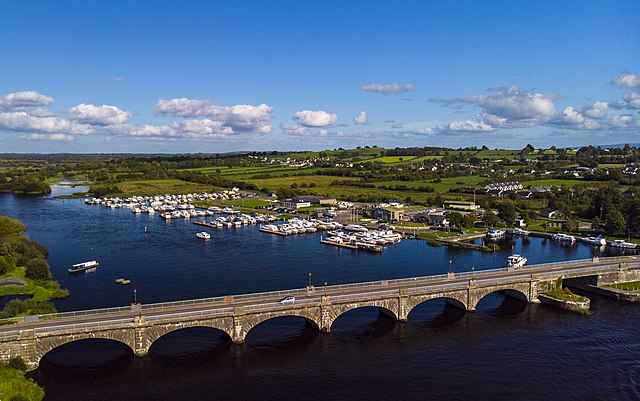 Banagher FortFairy fort / earthen ringfort · 830 yd
 Man-made underground passageMan-made underground passage · 874 yd
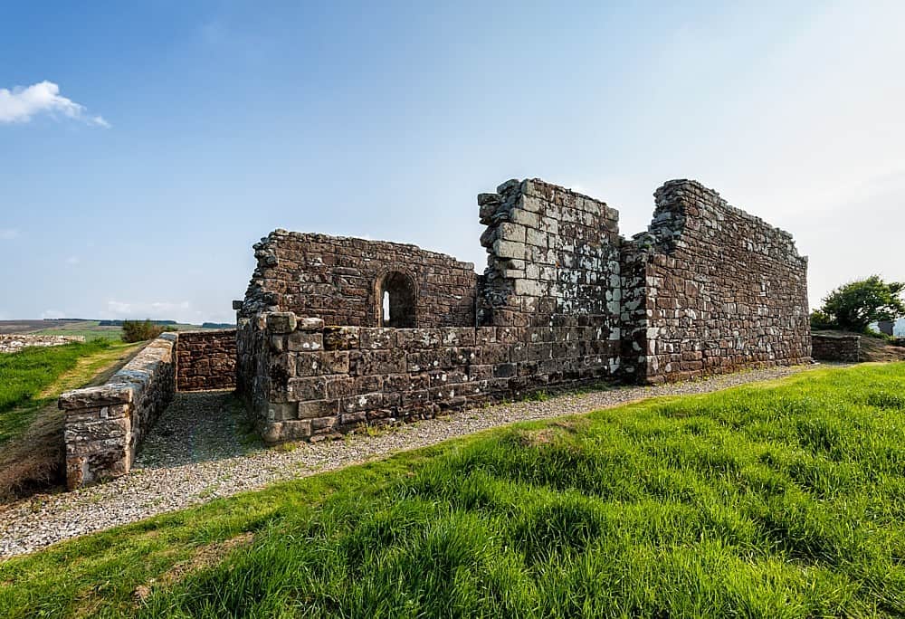 R.C. ChapelChurch · 1289 yd
 Bawn in Kilcloony (dunmore By.)Bawn · 1.2 mi
 Fartamore Castle (ruins)Castle · 1.9 mi
 European ashEuropean ash · 4.3 mi
 Mass RockNamed rock · 5.4 mi
 KnockmaaWood · 8.8 mi
 Ross Errilly FriaryHeritage attraction · 13 mi
 Otter IslandIslet · 16 mi
 Inis Mhic an TrírIsland · 16 mi