What is recorded here
Fairy forts are earthen rings built by people, though local story gives them to fairies because the shapes resist ordinary explanation. In Banagher the ring lies on a grassy rise, worn to a shallow oval with one bank still standing at the north-west edge. A second ringfort waits five hundred metres to the south-west, suggesting the hill once held more than a single household or a single claim. The fairies may be envy, wonder or memory for the people whose names disappeared when the earth took back the shape of their lives.
On a prominent rise in grassland. Poorly preserved oval rath (E-W 38m, N-S 25.5m) defined by a bank and external fosse. The bank survives at NW; elsewhere a scarp forms the enclosing element. No visible surface trace of the fosse survives at NE. A ringfort (GA016-006----) lies c. 550m to SW.
The above description is derived from the published 'Archaeological Inventory of County Galway Vol. II - North Galway'. Compiled by Olive Alcock, Kathy de hÓra and Paul Gosling (Dublin: Stationery Office, 1999).
Date of upload: 05 August 2010
The monument record does not grant public access. Check the route and ask the landowner before entering private land.
- What survives
- Recorded monument
Places near here
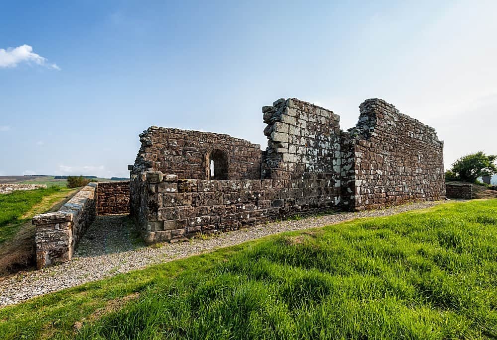 R.C. ChapelChurch · 346 yd
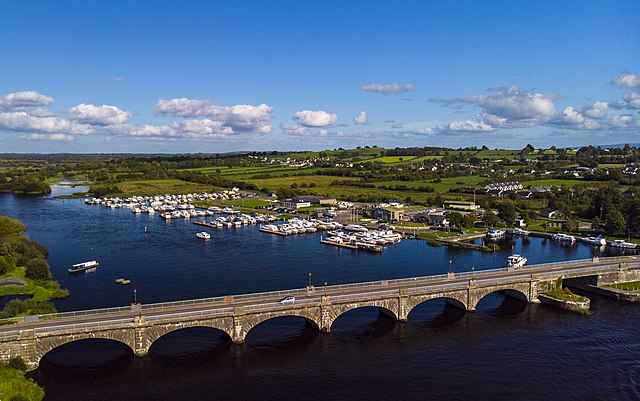
 Milltown Bridgebridge · 474 yd
 Banagher FortFairy fort / earthen ringfort · 607 yd
 Man-made underground passageMan-made underground passage · 608 yd
 Bawn in Kilcloony (dunmore By.)Bawn · 1.6 mi
 Fartamore Castle (ruins)Castle · 2.5 mi
 European ashEuropean ash · 4.8 mi
 Mass RockNamed rock · 5.9 mi
 KnockmaaWood · 9.4 mi
 Ross Errilly FriaryHeritage attraction · 13 mi
 Otter IslandIslet · 16 mi
 Inis Mhic an TrírIsland · 16 mi