What is recorded here
The Lios Field holds a broken ring on a narrow headland above Baltimore Harbour, preserving a small house within its earthen bank. It faces west across the main harbour and east toward the River Illen, exposing whatever lived there to both seas and weather. The surrounding land has become so overgrown that the fort nearly disappears, as if the region is forgetting the shape of the room it once kept.
On SE-facing slope, N of Baltimore. Local tradition of "lios"; area completely inaccessible due to overgrowth.
The above description is derived from the published 'Archaeological Inventory of County Cork. Volume 1: West Cork' (Dublin: Stationery Office, 1992). In certain instances the entries have been revised and updated in the light of recent research.
Date of upload/revision: 14 January 2009
Situated on a narrow headland within Baltimore Harbour, just north of the village. Extensive views
west towards the main harbour and east over Church Strand Harbour and the estuary of the River Illen. The land is used for rough grazing and is very overgrown where not cleared. Known locally as ’The Lios Field’. A sub-circular area ( c.24m E-W; 23m N-S) enclosed by an earthen bank (ext. H c.0.7m ) with a possible entrance at NNE (Wth c. 3m). In the interior, a sub-circular feature (c. 8m E-W; 10m N-S), defined by a low eroded bank is discernible possibly suggesting a house foundation. A geophysical survey was carried out on the monument and surrounds by the Discovery Programme in 2022 (licence 22R0161).
Compiled by: Matt Kelleher based on a report submitted by David Myler
Date of upload/revision: 25 July 2023
A fairy fort, or earthen ringfort, located on a south-east facing slope north of Baltimore, this site is likely an early-medieval agricultural or defensive structure. Local tradition refers to it as a "lios," reflecting Irish folklore associating such mounds with fairy dwellings.
The monument record does not grant public access. Check the route and ask the landowner before entering private land.
- What survives
- Recorded monument
Places near here
 store/warehousestore/warehouse · 144 yd
 Glenan's Irish Sailing Centresignal post · 274 yd
 Bawn in BaltimoreBawn · 444 yd
 Dún na Station castleCastle · 448 yd
 Wave Chieftain Whale WatchingHeritage attraction · 542 yd
 ToberanargidHoly well · 551 yd
 Man-made underground passage in BaltimoreMan-made underground passage · 794 yd
 Ringarogy IslandIsland · 1.0 mi
 Spanish IslandIsland · 1.0 mi
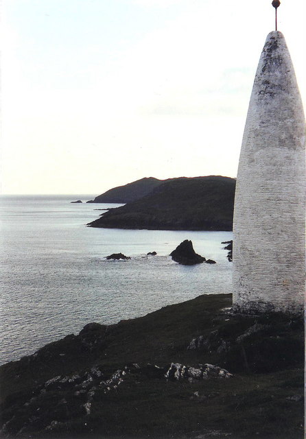 The Beaconbeacon · 1.2 mi
 Beacon PointViewpoint · 1.2 mi
 Cow StrandBeach / strand · 2.4 mi