What is recorded here
Fairy forts are misread human buildings, but this is a genuine ringfort in Balteenbrack. Road works removed part of its south-western edge, yet a shallow arc still rises to the north-west. Local memory also claims an underground passage nearby, tying the earthworks to hidden movement beneath the soil. The fort has lost one edge but keeps its shape, waiting for people to remember that fairness and humanity share the same ground.
According to local information portion of "fort" (SW side) removed during road widening; tradition of associated Man-made underground passage (CO144-013003-). Arc, formed by undulation to NW may be remains of bank.
The above description is derived from the published 'Archaeological Inventory of County Cork. Volume 1: West Cork' (Dublin: Stationery Office, 1992). In certain instances the entries have been revised and updated in the light of recent research.
Date of upload/revision: 14 January 2009
A fairy fort or earthen ringfort in Balteenbrack, likely dating to the early medieval period, is associated with local folklore of a man-made underground passage and is partially disturbed by road widening. The site is traditionally linked to fairy legend and may have had a circular bank to the northwest.
The monument record does not grant public access. Check the route and ask the landowner before entering private land.
- What survives
- Recorded monument
Places near here
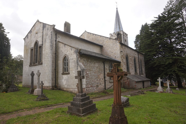 St. James WellSpring · 53 yd
 St James WellHoly well · 67 yd
 telephone boxtelephone box · 324 yd
 Ardfield Church (in Ruins)Church · 395 yd
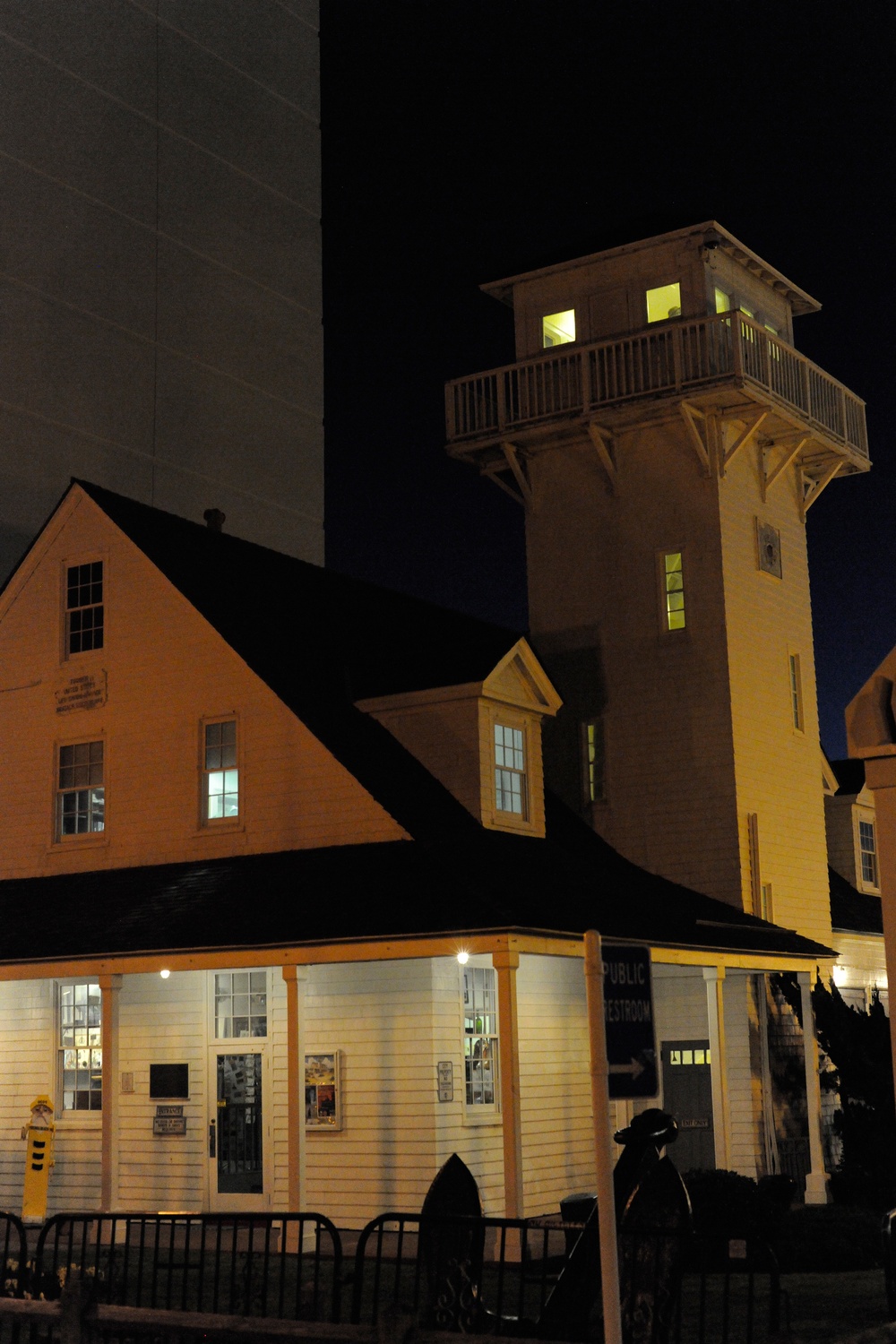 Old Coast Guard StationRuins · 953 yd
 Man-made underground passage in ClooncunnigMan-made underground passage · 1315 yd
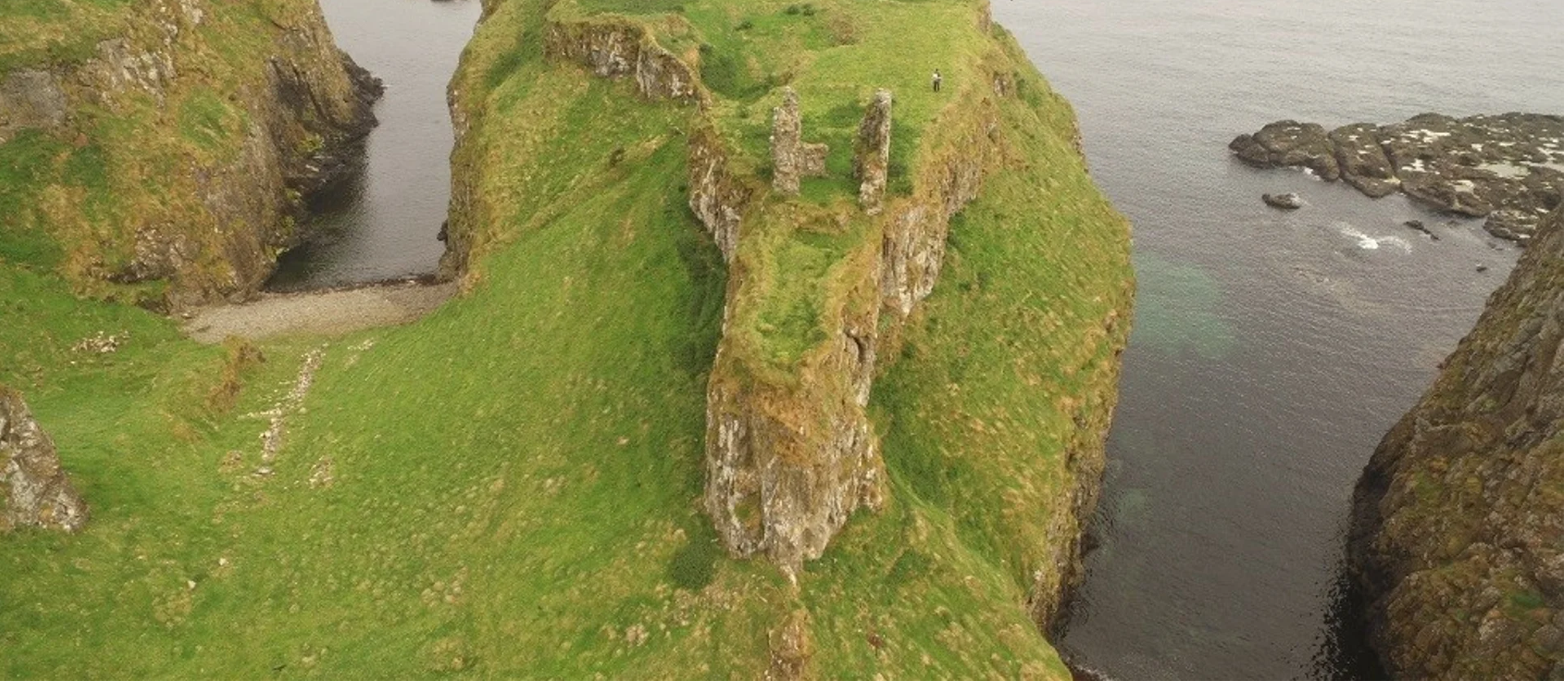 Dunnycove Castle (in Ruins)Castle, tower house · 1.0 mi
 Red StrandBeach / strand · 1.4 mi
 CastleCastle, unclassified · 1.5 mi
 Cottage MuseumMuseum · 2.2 mi
 Long Strand DunesNature reserve · 2.4 mi
 The Long StrandBeach / strand · 2.4 mi