What is recorded here
Situated on N facing slope of rising ground at NW foot of the ‘Hill of Mael’ with good views of the surrounding countryside. Roughly circular raised area (diam. 25m) enclosed by an earthen bank (H c. 2.5m) and external fosse (Wth c. 2.5m; D c. 1.2m) visible from SW-W-N, with traces of an external bank only visible from N-E. A post-1700 field wall runs along the line of the fosse from E-S-SW. The scarp is considerably higher on the N side, and the interior slopes unevenly down to the N.
See attached profile of monument surveyed and drawn by the ASI.
Compiled by: Frank Coyne & Caimin O'Brien
Date of upload: 17 November 2016
The monument record does not grant public access. Check the route and ask the landowner before entering private land.
- What survives
- Recorded monument
Places near here
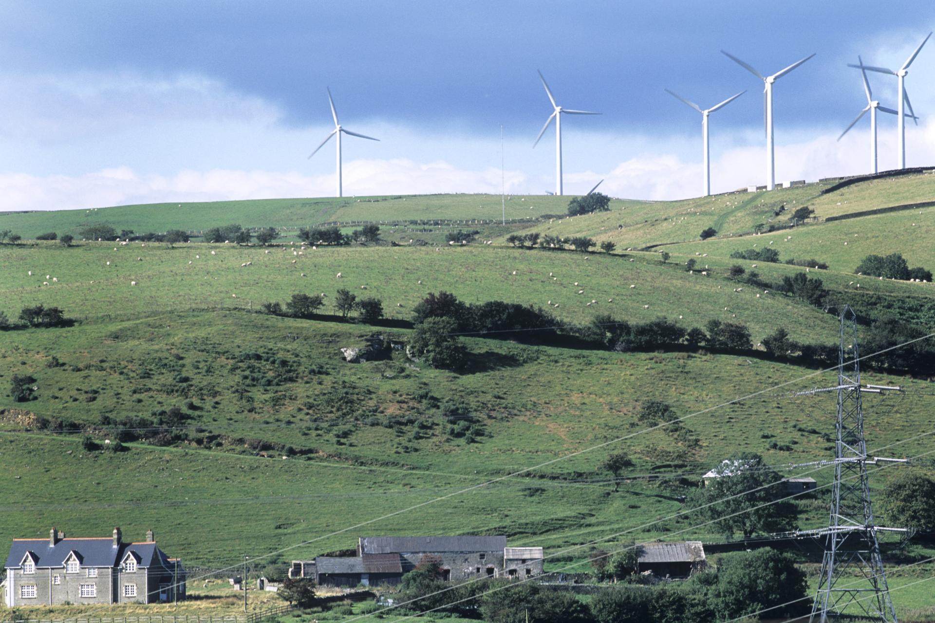 Field system in BigwoodField system · 579 yd
 Hut site in CarlanstownHut site · 608 yd
 Castle (in Ruins)Castle, unclassified · 729 yd
 Rock of CurryCliff · 1217 yd
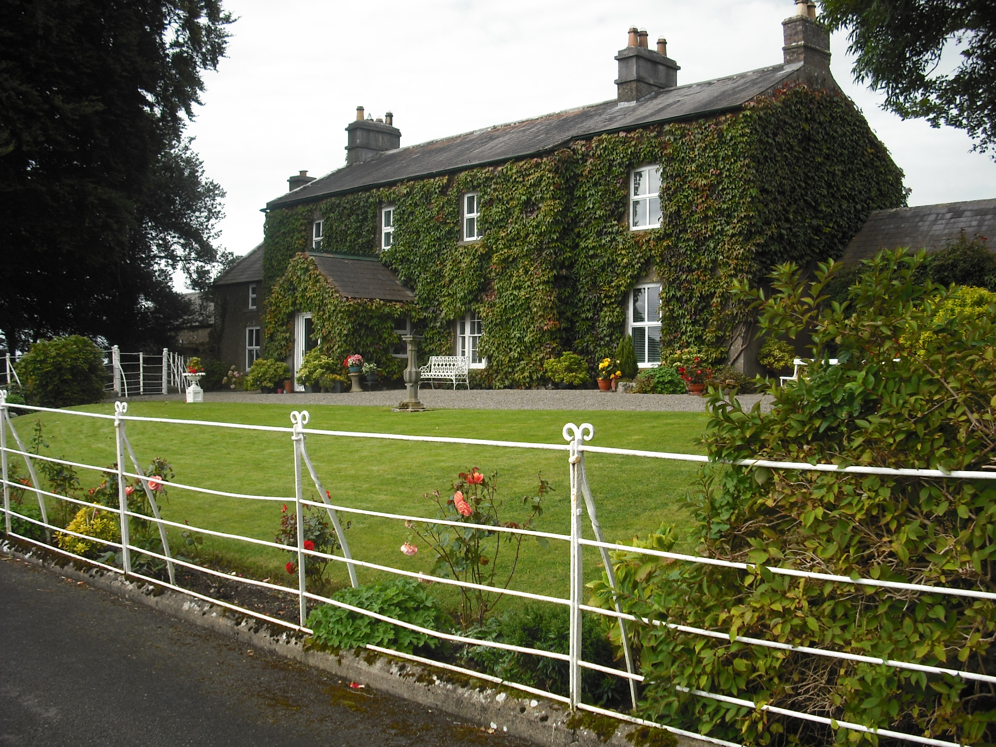 Carlanstown Housefarm house · 1567 yd
 Carlanstown CastleHouse, fortified house · 1605 yd
 Church (in Ruins)Church · 1.0 mi
 Mullaghmeen White WalkWalking route · 1.7 mi
 Mullaghmeen Red WalkWalking route · 1.8 mi
 Mullaghmeen ForestPicnic place · 1.9 mi
 MullaghmeenMountain / peak · 1.9 mi
 European ashEuropean ash · 3.2 mi